


Now Reading: Telangana Braces for Four Days of Rain Starting August 4
-
01
Telangana Braces for Four Days of Rain Starting August 4
Quick Summary
- rainfall Returns to Telangana:
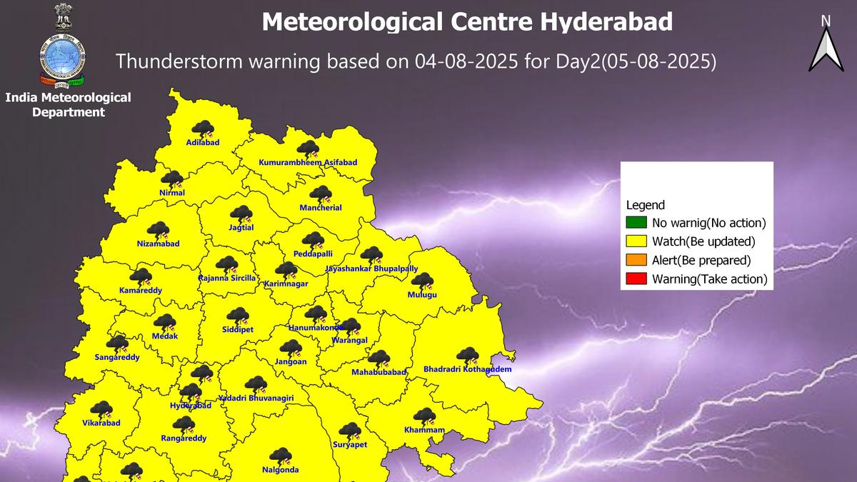
– Rainfall resumed across the state on August 4, 2025, after a brief lull.
– The India Meteorological Department (IMD) forecast thunderstorms, heavy showers, lightning, and gusty winds for the next four days.
- Specific Data:
– Telangana Development Planning Society recorded the highest rainfall of 28 mm in Manchal mandal of Rangareddy district from morning to afternoon on Monday.
- Affected Locations:
– On August 4: Thunderstorms with lightning expected in isolated locations across 24 districts, including Hyderabad and surrounding areas.
– From august 6 onward: Heavy rainfall predicted at select places (Nagarkurnool and Jogulamba Gadwal districts),along with statewide thunderstorms and gusty winds.
- Hyderabad Forecast:
– Light to moderate rain accompanied by gusty winds likely over the next two days in Hyderabad and nearby areas.
Indian Opinion Analysis
The resumed monsoon activity highlights Telangana’s vulnerability to intense weather phenomena during this season. With all districts under some form of alert from IMD over a four-day window, preparedness at both local governmental and communal levels is imperative.The robust forecasting allows authorities an possibility for preemptive measures such as disseminating safety details regarding potential hazards like flooding or lightning strikes. For agrarian economies dependent on consistent rainfall patterns-especially districts such as Khammam or Siddipet-continuity in precipitation could benefit crop cycles while mitigating risks posed by erratic downpours. Furthermore, urban centers like Hyderabad need focus on infrastructure capacity to manage water levels during such sustained patterns.
For those residing directly within regions marked for heavy rainfall or severe thunderstorms later this week (e.g., Nagarkurnool), prioritizing safety planning could minimize immediate adverse impacts while complementing broader disaster management approaches adopted statewide during monsoons every year.
Read more about the details here.


Related Posts
Stay Informed With the Latest & Most Important News
Previous Post
Next Post


Advertisement


