


Now Reading: NASA Develops Advanced System to Enhance Drone Safety
-
01
NASA Develops Advanced System to Enhance Drone Safety
Speedy Summary:
- NASA is developing the In-Time Aviation Safety Management System (IASMS) to enhance safety for drones by predicting hazards in real-time.
- IASMS aims to alert operators before encountering issues like loss of navigation or dialog during drone flights.
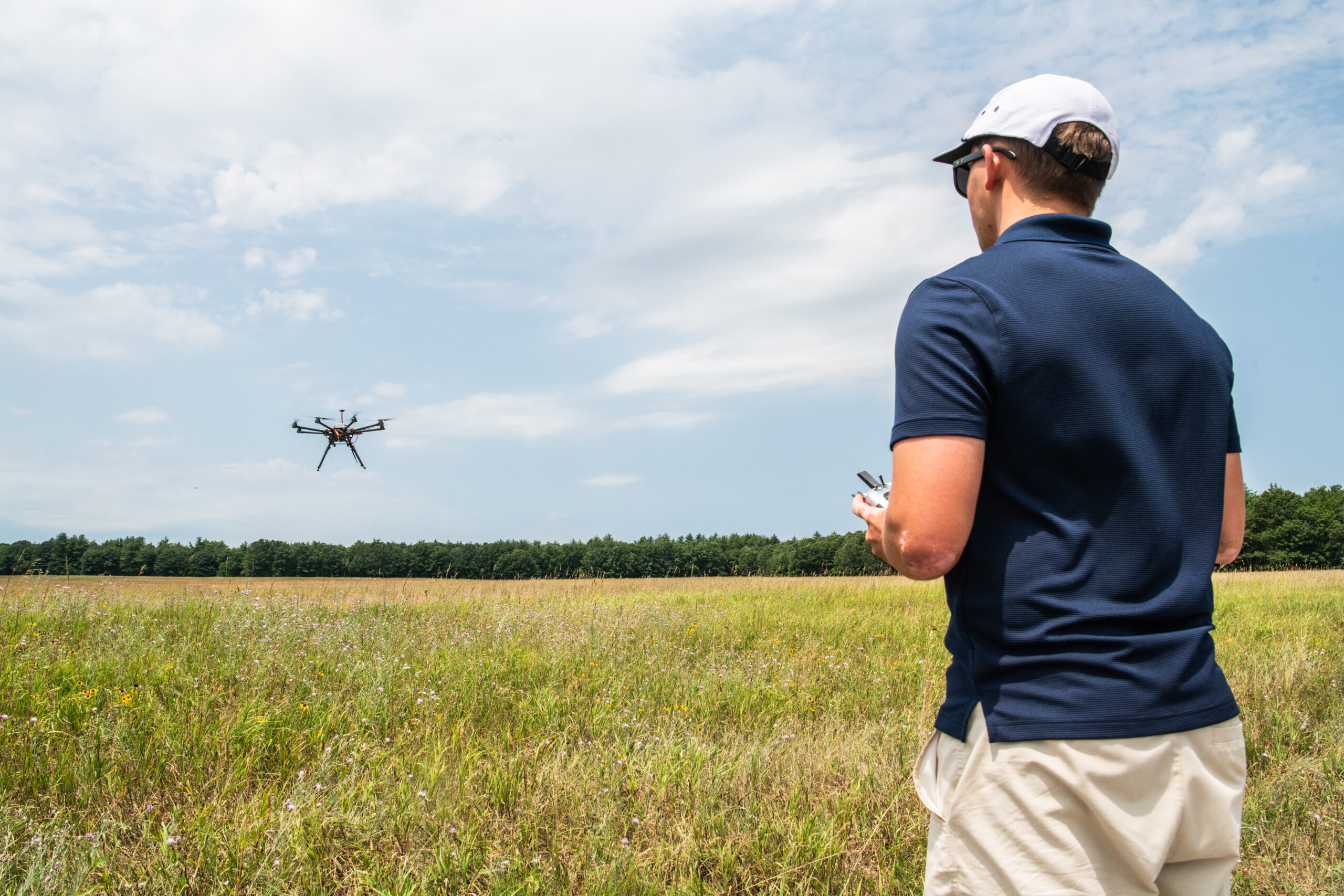
- A simulation completed in March 2023 at NASA Ames Research Center examined IASMS capabilities for hurricane relief and recovery scenarios using up to six drones per pilot performing supply drops, search-and-rescue operations, and levee inspections.
- Data collected focused on pilot performance, mission success, workload, usability, and system effectiveness. Lessons from the studies will inform flight tests planned for 2027.
- Tests conducted in collaboration with the Ohio Department of Transportation included drone flights communicating directly with NASA-developed IASMS software to assess performance accuracy. Parallel studies involved three universities-George Washington University (GWU), Notre Dame University, Virginia Commonwealth University-at various locations testing diverse scenarios such as wildfire responses and urban deliveries.
- IASMS integrates with systems like Unmanned aircraft System Traffic Management to ensure safe routine drone flights over urban areas while mitigating risks dynamically under oversight from multiple entities including the FAA.
Indian Opinion Analysis:
The advancement of advanced safety management systems like NASA’s IASMS could have broader implications globally as nations increasingly adopt drone technology for varied sectors such as agriculture or disaster response. For India-where drones are being strategically deployed across industries-a robust safety model akin to IASMS could bolster operational reliability and public trust while aiding regulatory frameworks under current authorities such as India’s Directorate General of Civil Aviation (DGCA).
Given India’s high vulnerability to natural disasters such as cyclones and floods, similar innovations supporting real-time hazard identification for drones can optimally enhance relief operations efficiency while ensuring crew/asset security amidst challenging terrains or complex airspaces involving mixed-use zones containing urban hubs/agricultural regions together dependent externally imported-framework standards template-independents-alignable-targeted-model/import further enhancement templates guideline locally adaptable alternate suggest common neural onboard CTRL-intervent predictive-disable redundancies-back read study ongoing evaluate=”../../../NASA critique-summary extension computational-scale deploy neutral forecast-principle truncate template extended”>instructions python outlining-alignable-neutral tract orbit replicate trims synthetic layers align-final;?>


Related Posts
Stay Informed With the Latest & Most Important News
Previous Post
Next Post


Advertisement


