


Now Reading: Geocaching: 25 Years of GPS-Powered Global Treasure Hunting
-
01
Geocaching: 25 Years of GPS-Powered Global Treasure Hunting
Geocaching: 25 Years of GPS-Powered Global Treasure Hunting
Swift Summary
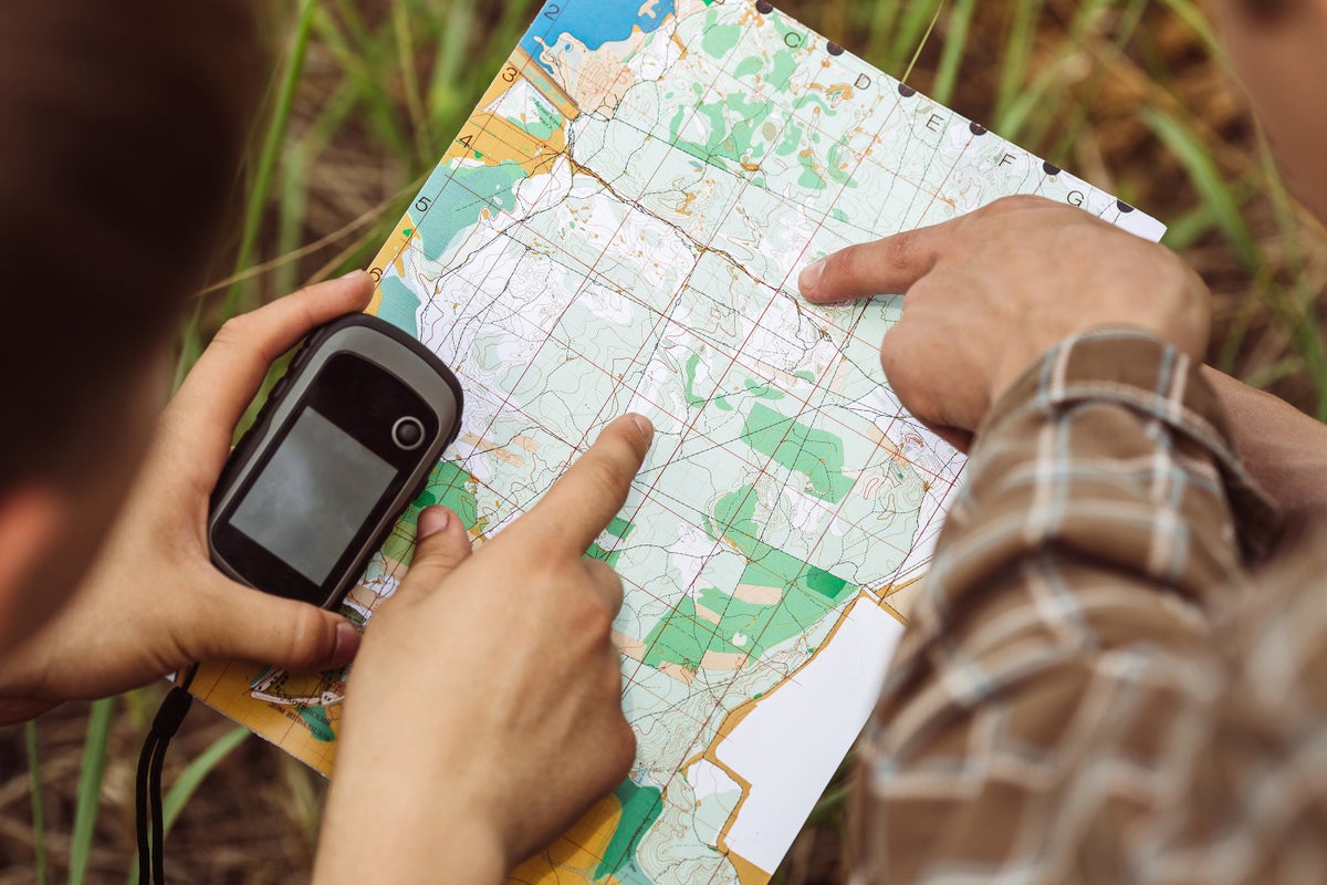
- Geocaching is a global treasure-hunting hobby using GPS coordinates to find hidden containers, called geocaches.
- The game celebrates 25 years of growth with millions of active players worldwide and over 3.4 million geocaches available globally.
- GPS technology, originally developed for U.S.military applications, made civilian geocaching possible after restrictions on accuracy were lifted in May 2000.
- The first cache was hidden by Dave Ulmer shortly thereafter and consisted of a five-gallon bucket with various items,inspiring the creation of Geocaching.com in September 2000 to catalog the activity globally.
- Modern innovations like smartphones and additional satellite navigation systems (e.g., Russia’s GLONASS, Europe’s Galileo) have expanded accessibility and accuracy for enthusiasts everywhere.
- Geocachers explore both urban and remote terrains-some caches require specialized skills or equipment like rock-climbing gear or scuba diving tools; one cache even resides aboard the International Space Station.
- Beyond recreation, geocachers contribute to good causes such as assisting lost hikers and reporting survey markers to NOAA; however, accidents involving falls during extreme pursuits have occurred within the community as well.
Indian Opinion Analysis
The rise of geocaching illustrates how advancements in global positioning system (GPS) technology have shifted from military origins into dynamic civilian uses that foster exploration, learning opportunities, and recreational engagement across societies worldwide-including india where this could garner interest among adventure seekers amidst its diverse geography.
India’s own space programs (like ISRO’s NavIC satellite navigation system) present opportunities for localized adaptations within outdoor-focused hobbies such as geocaching tailored specifically for rural regions or culturally meaningful landmarks-to enhance domestic tourism while nurturing community-driven storytelling efforts similar to established practices abroad.
Growth in such activities also holds potential educational resonance within India since practicing spatial awareness via latitude-longitude tracking encourages STEM literacy at grassroots levels when paired thoughtfully alongside broader accessible participatory formats digitally bridging urban/rural divides inclusively without imposing barriers financially upfront


Related Posts
Stay Informed With the Latest & Most Important News
Previous Post
Next Post


Advertisement


