Now Reading: A practical guide to exploring the Alps’ classic highlights
-
01
A practical guide to exploring the Alps’ classic highlights
This article was produced by National Geographic Traveller (UK).
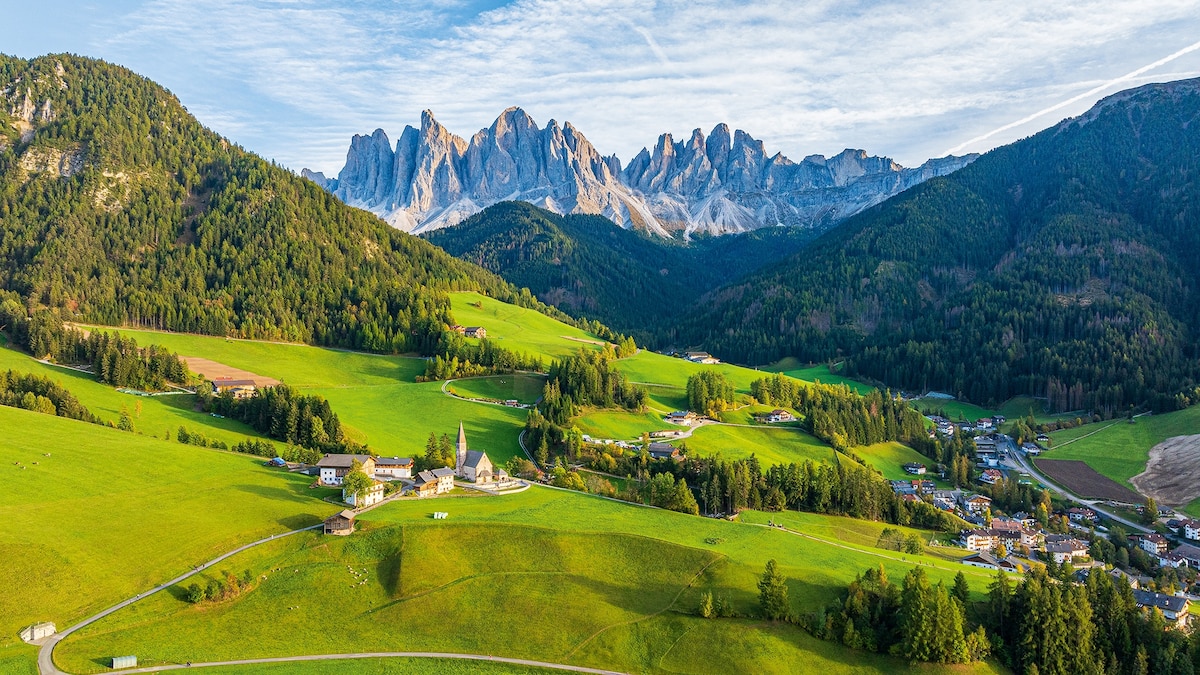
Wild as they are, the Alps are brilliantly accessible in the warmer months, whether you want to devise your own multi-day, cross-country trip on the frequent, efficient trains, or hit the trail on a long-distance, hut-to-hut hike. For planning, booking and money-saving tips, try this handy guide.
What should I pack?
Pack for the outdoors. Bring layers: a breathable fleece, loose walking trousers, hiking boots, flat shoes for cities., a wind/waterproof jacket, sunglasses for glare at high elevations and a daypack. For high-altitude hikes, add thermals, hiking poles, a compass, water bottle, torch, first aid kit and warm hat and gloves.
How easy is it to get around by public transport?
Exploring the Alps by rail makes perfect sense: trains are frequent, punctual and efficient, relatively inexpensive, and eco-friendly. There are generally some non-reserved seats, but it’s advisable to buy tickets in advance in peak periods. Deeper in the Alps, mountain transport takes the form of funicular and cog railways, lifts and cable cars.
How can I save on tickets?
Get in quick. Many Alpine countries offer cut-price rail tickets, yielding discounts of up to 85% on less-popular days, times or routes. In Austria, these are called Sparschiene; in Germany, Sparpreis; and in Switzerland, Supersaver. They’re generally available between six months and one day ahead of travel. If you’re travelling around, look out for rail passes like the Swiss Travel Pass and Austria’s Vorteilscard. Eurail and Interrail passes are valid on many routes.
For high-Alpine transport, devote time to finding the best deals for the region you’re visiting. Individual tickets can be pricey, and a discount pass will save you a fortune.
Are there accessible options?
Yes. Many trains, especially high-speed and intercity services, have lifts, ramps and mobility aids. Some cable cars and hiking trails do, too. Visit the relevant tourist board for details; Switzerland, in particular, has a sharp eye on accessibility.
What if I want to drive?
Roads in the Alps are generally well maintained and signposted, but you’ll need to be a confident driver to tackle inclines and hairpin bends. Some Alpine passes are open year-round, others from June to October. In Austria and Switzerland, you’ll need a vignette, or digital toll pass, to drive on major roads.
How safe is it to hike?
A few common-sense rules go a long way: inform a responsible person of your route, watch weather patterns using the Mountain Forecast app, wear the right clothing and footwear, take enough water and ensure your phone is charged. Increase the length and elevation of hikes gradually; if possible, don’t walk alone at high altitudes.
Avalanches and rock falls can be a risk, so stick to marked trails. These are generally colour graded: yellow or blue (easy and flat); white-red-white or red (moderately challenging, with some steep, exposed sections); white-blue-white or black (Alpine routes for experienced mountain hikers). For tougher hikes, take a map and compass.
Are there any useful hiking and cycling guides?
Cicerone publishes an excellent series of hiking, trekking, cycling and bikepacking guides to the Alps, with route descriptions and maps. GPX files are available for most of their books. Tiles include Cicerone, Walking in the Alps and Cicerone, 100 Hut Walks in the Alps. Online, try Bergfex for details on routes, tours, weather and accommodation.
How far in advance should I book mountain huts?
Most huts are staffed from mid-June to mid-September, and can be booked online, too; on popular trails in high season, you should do so months ahead. Huts with multibed dorms range from simple shelters to smart lodges with hot showers. Bring your own silk or cotton sleeping bag, a headtorch and earplugs. Take all rubbish with you. If you’re planning a long-distance hike, consider membership with an Alpine club (DAV in Germany, ÖAV in Austria, SAC in Switzerland, CAI in Italy) for discounts of up to 50%. Their websites are a great resource for trail planning, weather and 1:25,000 topographic maps.
Published in the May 2025 issue of National Geographic Traveller (UK).
To subscribe to National Geographic Traveller (UK) magazine click here. (Available in select countries only).


Related Posts


Stay Informed With the Latest & Most Important News
Previous Post
Next Post


Advertisement


