


Now Reading: Can Crowdsourced Maps Help Tackle Climate Disasters?
-
01
Can Crowdsourced Maps Help Tackle Climate Disasters?
Quick Summary
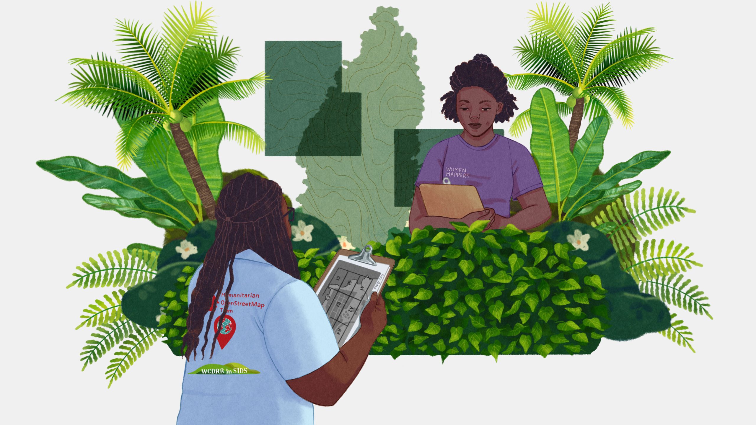
- The Humanitarian OpenStreetMap Team (HOT) aims to map the world’s unmapped areas using open-source technology.
- HOT engages local communities and volunteers in developing regions, often vulnerable to natural disasters, such as St. Lucia in the Caribbean.
- Mapping efforts involve satellite imagery and on-ground expeditions, with names of roads, buildings, infrastructure manually added for precision.
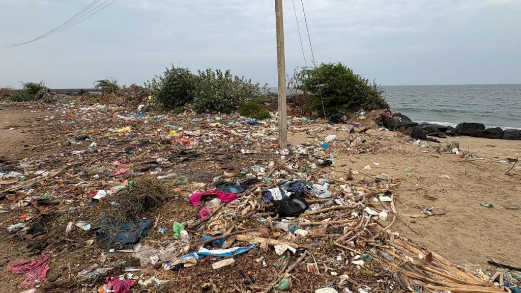
- In St. Lucia specifically, mapping focuses on disaster-prone areas like gros Islet and Bexon due to hurricanes, floods, and rising sea levels exacerbated by climate change.
- Volunteers have logged extensive edits into OpenStreetMap-an open-source option to Google Maps-to improve rescue coordination during crises.
- Challenges include ensuring map accuracy amid digital vandalism and balancing limited resources against expanding needs globally.
Indian Opinion Analysis
Efforts like those spearheaded by HOT underscore the importance of proactive disaster management for climate-vulnerable regions globally-including India’s rural or flood-prone areas like Assam or sundarbans under similar threats from extreme weather events induced by climate change. While India’s digital mapping landscape increasingly relies on closed systems like Google Maps or governmental agencies’ GIS platforms (e.g., ISRO), integrating tools such as OpenStreetMap could foster collaborative engagement among local communities while bridging crucial gaps in accessibility.
For India-where population density intersects with varying socioeconomic conditions-the necessity for grassroots involvement in technology-driven crisis preparedness cannot be overstated. Adopting solutions akin to those implemented in St. Lucia may assist long-term mitigation strategies within the rapidly urbanizing yet geographically complex terrain that needs immediate adaptability against environmental calamities.
The success of these crowd-sourced efforts lies not just in technological innovation but sustained public participation capable of keeping projects relevant over time-a critical factor policymakers might consider given our broader aspirations toward climate resilience.


Related Posts


Stay Informed With the Latest & Most Important News
Previous Post
Next Post


Advertisement


