


Now Reading: How Drones Are Shaping Insurance Rates-and What You Can Do
-
01
How Drones Are Shaping Insurance Rates-and What You Can Do
Rapid Summary
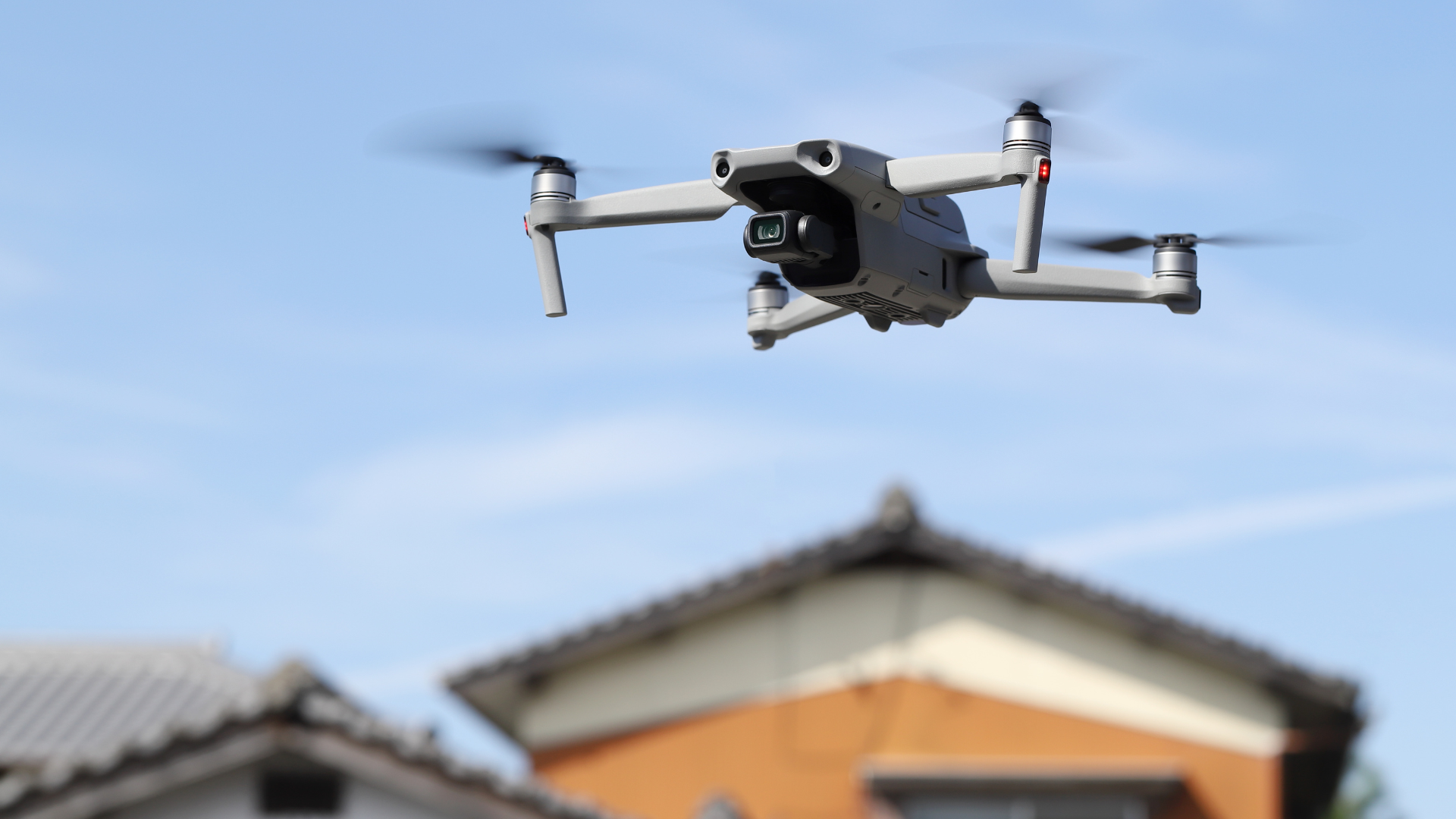
- Emerging trend: homeowners insurance companies increasingly utilize drone and satellite imagery for property inspections.
- Issues observed:
– Unreliable data: Drone/satellite imagery often produces low-resolution pictures, leading to inaccuracies such as misinterpreted damage or outdated images being used to make decisions on coverage or rate hikes.
– Unpredictable timing: Inspections via drones can occur anytime without homeowner knowledge, possibly capturing misleading visuals if the property is under repair.
– Lack of openness: Insurers frequently perform these inspections stealthily, leaving homeowners unaware until they receive notices about policy cancellations or premium increases.
- Precautions homeowners can take:
– Familiarize themselves with state regulations regarding cancellation notices and dispute processes.
– Regularly inspect and maintain thier home’s exterior to avoid surprises from unexpected aerial assessments.
– Assertively contest inaccurate findings by requesting the photos used in decisions and submitting clear counter-evidence.
- Techniques like hiring certified inspectors or maintaining direct interaction with insurance representatives remain crucial in resolving disputes arising from automation-based inspections.
Indian Opinion Analysis
The use of drones and satellites for property surveillance raises critical concerns around both reliability and privacy. While insurers aim to reduce risks using advanced technology, the potential inaccuracies highlighted could disproportionately impact consumers who might face unfair rate increases or loss of coverage. This development could also set a precedent for broader surveillance-based decision-making across industries beyond rapid technological adoption.
One implication relevant to India is its burgeoning urbanization coupled with technological integration into governance frameworks-questions around regulation,fairness in handling disputes originating from imprecise drone tech are pertinent here too.As homeownership grows amidst rising smart city initiatives, mechanisms ensuring accurate data interpretation must remain central whether applied commercially by insurers-or publicly within government oversight systems. India’s trajectory of balancing innovation while safeguarding individual rights merits close study alongside global cases like this one.


Related Posts
Stay Informed With the Latest & Most Important News
Previous Post
Next Post


Advertisement


