


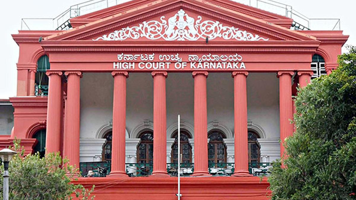
Now Reading: Karnataka HC Urges Single Digital Platform for Land and Forest Data Monitoring
-
01
Karnataka HC Urges Single Digital Platform for Land and Forest Data Monitoring
Quick Summary
- Karnataka high Court Directions: The Karnataka High Court has instructed the State government to create an integrated geospatial platform combining land data, including ULPIN/Bhu-Aadhaar and geo-tagged forest lands with demarcated boundaries.
- Inter-departmental Land Dispute Resolution Cell (IDLDRC): The court ordered the setup of a land dispute resolution cell under the Chief Secretary for resolving conflicting records among departments.
- Automated System Requirement: Directed that an automated alert system be integrated to verify all land-related applications against unified databases,preventing unauthorized conversions or registrations where disputes are flagged.
- Conflict Alerts for Departments: Parcels within forest boundaries must trigger automatic rejection notices and alerts for relevant departments to prevent illegal activities like sale registration or layout sanctions.
- Satellite Imagery-based Forest Maps: Forest maps of Karnataka need creation using high-resolution satellite imagery from agencies such as ISRO and Forest Survey of India, fully integrated with ULPIN.
- Public Access via App and Portal: A mobile app/portal should provide citizens access to information like ownership history,litigation status,encumbrances on lands,and warnings about forests/public land use classification. This aims to deter fraud by enabling thorough public due diligence before property transactions.
- Implementation Timeline: A high-level committee will oversee these initiatives over two years.
Indian Opinion Analysis
The directives issued by the Karnataka High court could transform how land records are maintained and managed in India while addressing long-standing issues related to disputed claims. Centralizing records into a geospatial platform consolidates crucial data across departments, fostering transparency while potentially curbing fraud or illegal developments on forest/protected lands through real-time alerts.
the emphasis on public accessibility through apps/portals introduces groundbreaking citizen oversight measures that empower individuals during property purchases while creating deterrents against fraudulent schemes. Additionally, employing advanced satellite imagery tools highlights judicial recognition of modern technology’s role in governance efficiency.
If successfully implemented over two years by inter-departmental collaboration under robust leadership oversight as mandated by the court’s directions, this initiative could offer scalable solutions beyond Karnataka-setting a precedent across state governments nationwide for reconciling fragmented land systems with transparency-focused frameworks.Read more: Click here


Related Posts
Stay Informed With the Latest & Most Important News
Previous Post
Next Post


Advertisement


