

Now Reading: Kerr County Flood: A Stark Warning of What’s to Come
1
-
01
Kerr County Flood: A Stark Warning of What’s to Come

Swift Summary
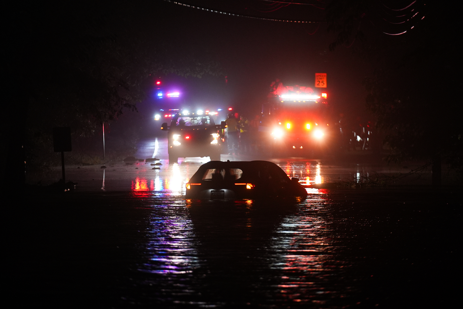
- Torrential rains in Texas resulted in devastating floods earlier this month, with 135 fatalities-107 of them from kerr County, including children at Camp Mystic.
- Contributing factors included climate change-driven intense rainfall, insufficient warning systems, and unchecked advancement in flood-prone areas.
- FEMA’s flood maps identify around 7.9 million homes nationwide within high-risk zones; however, some maps are outdated or influenced by lobbying politics.
- First Street Foundation’s data suggests a higher risk population of 17.7 million people nationwide and showcases discrepancies between FEMA’s map coverage and actual risks based on newer modeling techniques.
- States with significant properties at risk include Louisiana (23% according to FEMA), West Virginia (30% according to First Street), Florida, New Jersey, and Texas (15% according to updated models).
- Floodplain development continues despite acknowledging regional risks like Kerr County’s “Flash Flood Alley.”
- Experts call for better mapping tools and stricter regulations on construction in hazardous areas to mitigate future disasters.
Indian Opinion Analysis
The tragic floods in Kerr County underscore the increasingly universal threat posed by extreme weather events linked to climate change. While India is no stranger to flooding caused by monsoons or glacial melt impacts on Himalayan states such as Uttarakhand or Jammu & Kashmir regions already routinely deal complexities tethered those.It essential for politicians urban planners alike consider balance infrastructure expansions local resiliences likewise key rethink accurate mappings disaster readinesspossible blockers tricky discussions..


Related Posts
Stay Informed With the Latest & Most Important News
Previous Post
Next Post

Donations


Advertisement

Loading Next Post...


