

Now Reading: NASA-French Satellite Discovers Massive River Waves for the First Time
-
01
NASA-French Satellite Discovers Massive River Waves for the First Time
Fast Summary:
- Researchers from NASA and Virginia Tech used data from the SWOT (Surface Water and Ocean Topography) satellite to measure height and speed of flood waves in U.S. rivers for the first time.
- River waves, triggered by extreme rainfall or ice jams, span tens to hundreds of miles.They carry nutrients but can also create flood risks.
- Observations included:
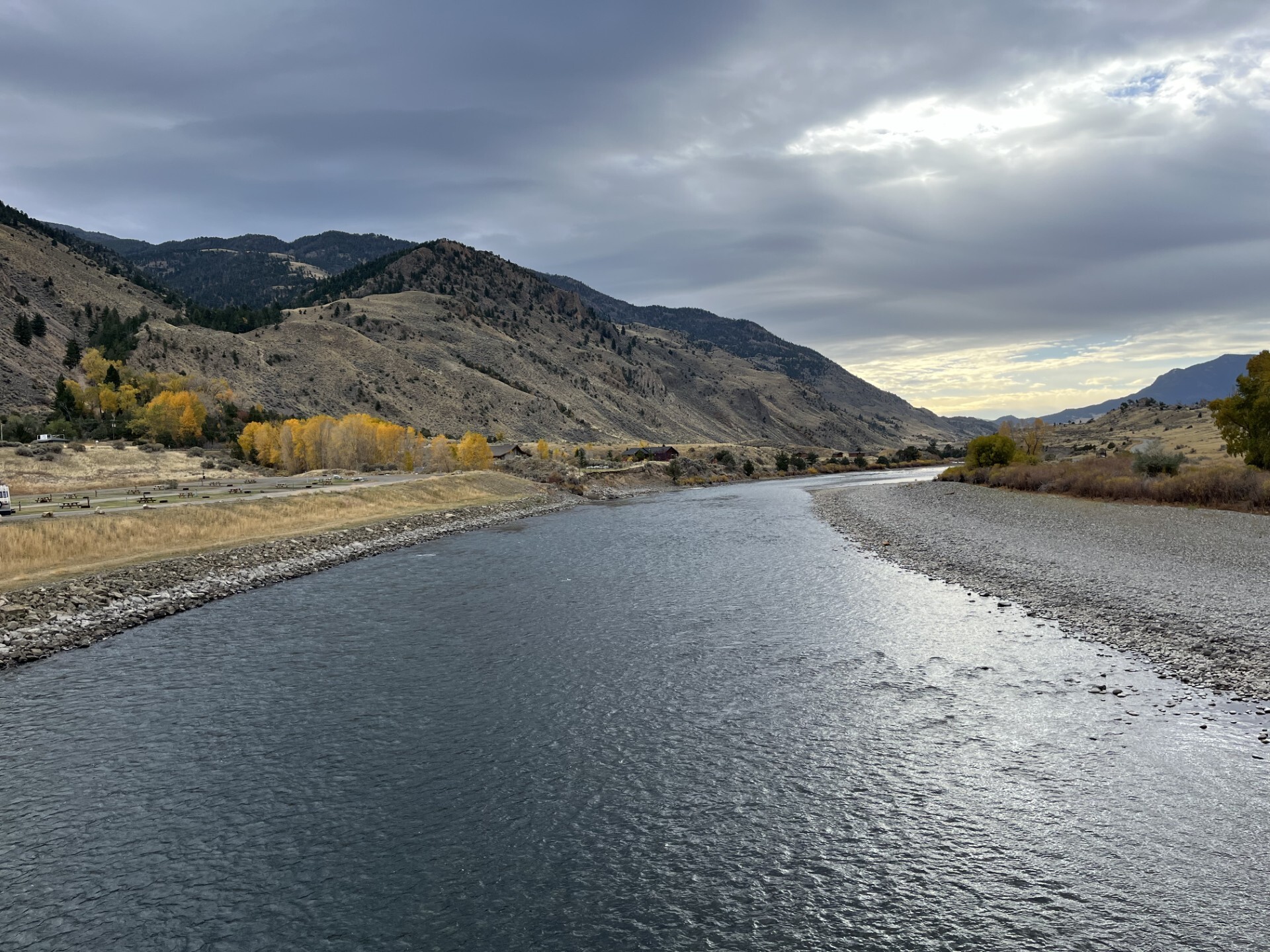
– A Yellowstone River wave caused by ice jam release: 9.1 feet tall (2.8 meters), 6.8 miles long, traveling toward the Missouri river.
– Colorado River wave triggered by rainfall in Jan 2024: over 30 feet tall, spanning over 166 miles at a pace of about 3.5 ft/s (1 m/s).
– Ocmulgee River wave in March 2024: >20 feet tall over more than a hundred miles at ~1 ft/s pace (~0.33 m/s).
- The SWOT satellite uses radar technology to track water movement globally and can complement stream gauge data for locations wiht sparse monitoring infrastructure.
- This study suggests potential applications for flood prediction and managing risks amid changing weather patterns.
Indian Opinion Analysis:
The breakthrough use of satellites like SWOT underscores growing global reliance on advanced technology to address environmental challenges such as flooding-a concern shared widely across regions like India that depend heavily on river systems. While the study focused on U.S rivers, its implications extend globally; Indian hydrologists could benefit from applying similar space-based observations to supplement India’s existing river-monitoring infrastructure.
India’s vast network of rivers is crucial not only for agriculture and biodiversity but also for public safety during floods caused by monsoons or glacial outbursts in Himalayan regions-frequently enough inadequately monitored beyond densely populated areas with gauges installed primarily in urban centers.
By incorporating precise technologies like Ka-band Radar Interferometers into India’s disaster management framework, policymakers might enhance predictive capabilities necesary to safeguard impacted communities economically dependent on timely control measures around water resources.


Related Posts
Stay Informed With the Latest & Most Important News
Previous Post
Next Post
Previous Post
Next Post


Advertisement


