

Now Reading: NASA-ISRO Satellite to Track Movement with Unmatched Precision
-
01
NASA-ISRO Satellite to Track Movement with Unmatched Precision
Rapid summary
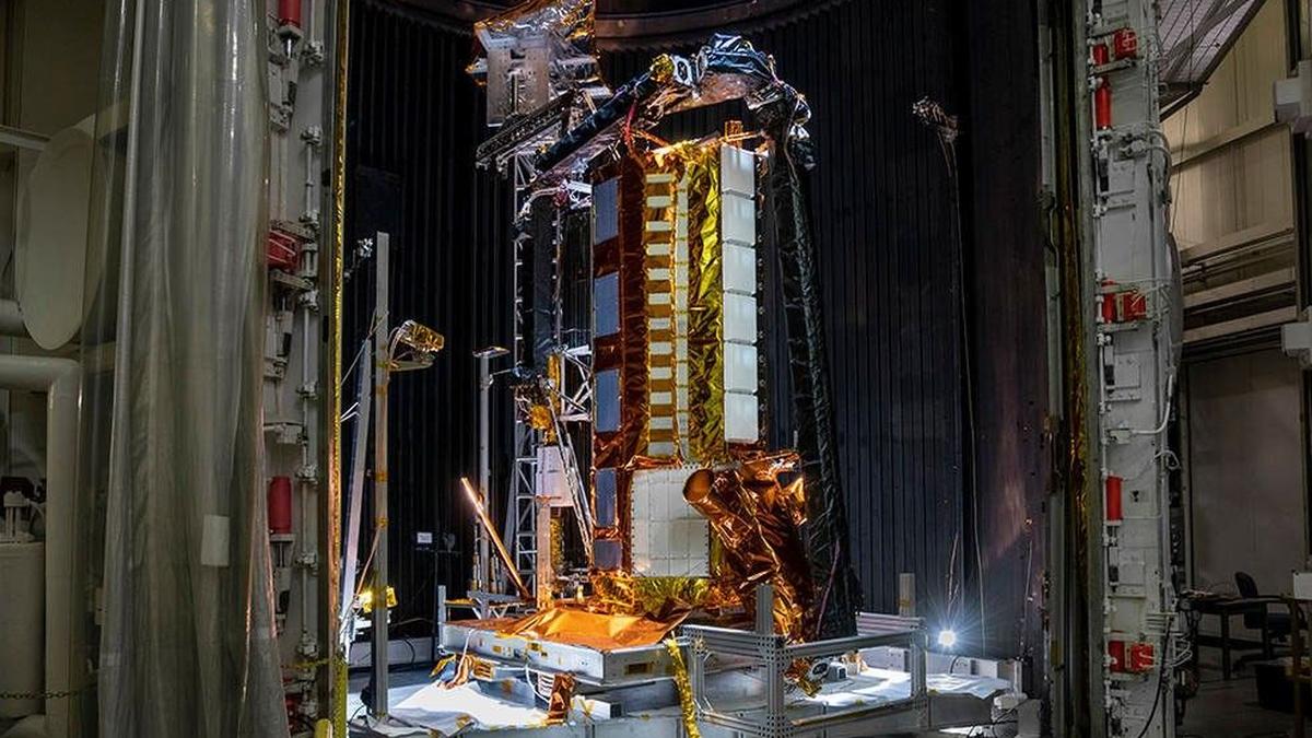
- Historic Launch: Teh NASA-ISRO Synthetic Aperture Radar (NISAR) satellite was successfully launched on july 31 from sriharikota spaceport, marking a significant milestone in India-US space collaboration.
- Dual Band Radar: NISAR is the world’s first Earth observation satellite equipped with dual frequency radars-NASA’s L-band radar and ISRO’s S-band radar.
- Key Features and Applications:
– Ability to monitor earth’s surface movements with centimeter-level precision over wide areas.- Can detect phenomena such as land deformation, glaciers melting, forest biomass changes, volcanic activity precursors, landslides or earthquakes; also for agricultural monitoring and disaster response.- Commercial potential exists in geospatial analytics and early-warning systems for sectors like insurance, infrastructure, agriculture.
- Technical Development & Challenges: Took 11 years to design due to engineering complexities including COVID-related disruptions; innovative solutions were required for reflector integrity under thermal loads.
- Cost Breakdown: US investment estimated at $1.2 billion spanning life-cycle stages (design-operation); includes deployable reflector technology unique to NISAR’s radar configuration.
- Accessibility of Data: Both bands’ data will be freely available globally via distribution points in the US (Alaska SAR Facility) and India through ISRO.
Indian Opinion Analysis
The prosperous launch of NISAR highlights an exemplary partnership between NASA and ISRO that blends advanced technological capabilities across nations. Its groundbreaking ability to provide day-night all-weather imaging opens significant avenues not only scientifically but commercially as well-affecting diverse fields like disaster management and precision agriculture directly relevant for India’s developmental needs.
Further establishing India’s role as pivotal in climate resilience technologies through this mission could elevate its global standing in scientific diplomacy-a trend already evident given prior Chandrayaan missions associated collaborations cited by experts involved here yet ‘mutual technical innovation fostering’ mechanisms achieved-from stages what-is-visible proves solid ensuring Advance next decade newer milestone types may emerge Indic-space-strength narrative ticking organically future cross-boundary projects sustained balanced relations momentum shared Infrastructure/deployment-efficiency resilience-focused models-around-data-speed/accuracy combinedly forward optimization prospects lie capitalizing .


Related Posts
Stay Informed With the Latest & Most Important News
Previous Post
Next Post


Advertisement


