


Now Reading: NASA Satellite Data May Help Predict Volcanic Eruptions
1
-
01
NASA Satellite Data May Help Predict Volcanic Eruptions
Quick Summary
- NASA and the smithsonian Institution are collaborating to detect volcanic activity through changes in tree foliage using satellite imagery.
- Magma releases carbon dioxide as it ascends, which makes nearby trees greener and more lush; these changes can potentially signal early signs of volcanic eruption.
- Monitoring vegetation is proposed as an indirect method for detecting volcanic carbon dioxide emissions, which are harder to measure directly.
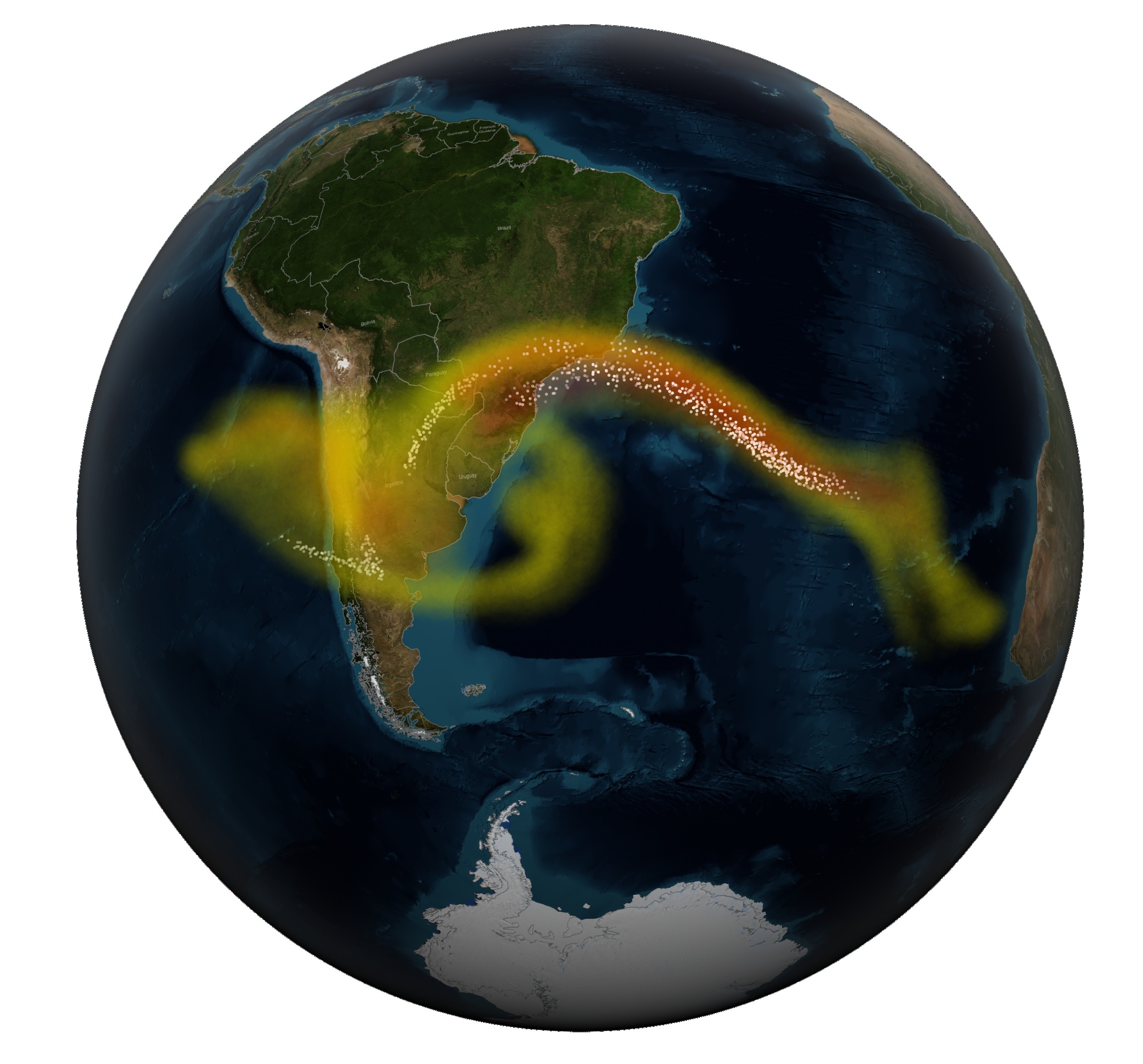
- Tools like NASA’s Landsat 8, Terra satellite, ESA sentinel-2 satellites, and airborne instruments were used to analyze tree responses around active volcanoes such as Mount Etna in italy and Rincon de la Vieja in Costa Rica.
- A 2017 upgraded monitoring network at Mayon volcano in the Philippines that included carbon dioxide sensors enabled early evacuation of over 56,000 people before a January 2018 eruption-saving lives.
- Challenges include limited or inconsistent forest cover near volcanoes, environmental factors affecting tree analysis (e.g., fires or diseases), and variability among different types of trees responding to increased carbon dioxide levels.
Read More: NASA Satellites Provide Early Volcano Warnings
Indian Opinion Analysis
Leveraging space-based technology for volcanic monitoring is a significant advancement that combines ecology with volcanology. As India faces localized geological risks from dormant or semi-active seismic areas within Himalayan regions or Andaman Islands with potential tectonic movements near plate boundaries impacting populations indirectly – comparable but distant systemic innovation akin remote mountains holds latent learning. Enhanced awareness via earlier forecasting long-term strategy


Related Posts

Stay Informed With the Latest & Most Important News
Previous Post
Next Post


Donations


Advertisement

Loading Next Post...


