


Now Reading: NASA’s Groundbreaking View of Forests from Space
-
01
NASA’s Groundbreaking View of Forests from Space
### Quick Summary
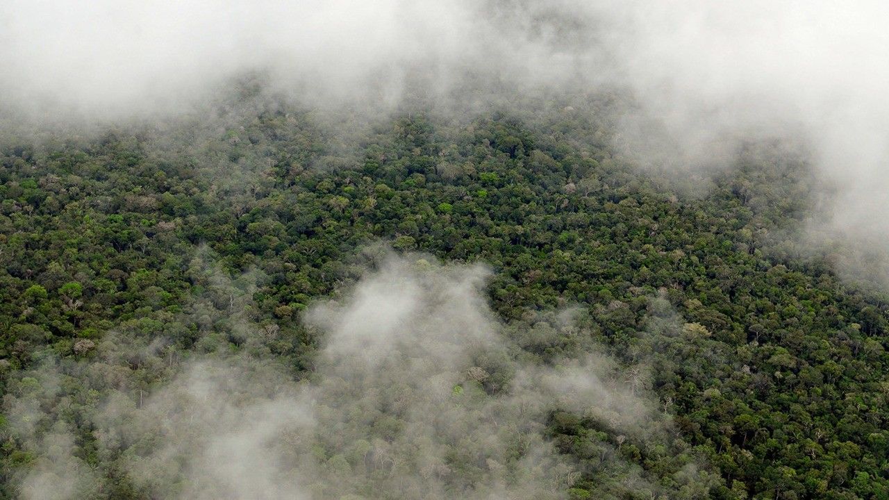
– NASA is utilizing satellite lidar technology to study Earth’s forests, which are vital carbon sinks.
– The GEDI mission, operating from the International Space Station, maps forest height and biomass globally.
– ICESat-2 complements GEDI by filling data gaps in polar regions.
– These missions collectively enable the progress of a global biomass map for guiding more effective forest conservation and carbon tracking.
### Indian Opinion Analysis
NASA’s cutting-edge use of lidar technology underscores the pivotal role of scientific innovation in addressing environmental challenges. For India-a nation enriched with sprawling forests but grappling with deforestation-access to advanced mapping tools like those developed under NASA missions could inform data-driven policy measures for preserving biodiversity and mitigating climate change impacts. while India has domestic efforts aimed at forest conservation, relying on international inputs such as global biomass maps could enhance transparency and effectiveness in tracking carbon levels across ecosystems. This reinforces the importance of leveraging global partnerships in tackling shared environmental concerns.
[Read More](https://science.nasa.gov/earth/from-space-to-soil-how-nasa-sees-forests/)


Related Posts


Stay Informed With the Latest & Most Important News
Previous Post
Next Post


Advertisement


