


Now Reading: New Flood Severity Index Prioritizes Human Impact
-
01
New Flood Severity Index Prioritizes Human Impact
Swift Summary
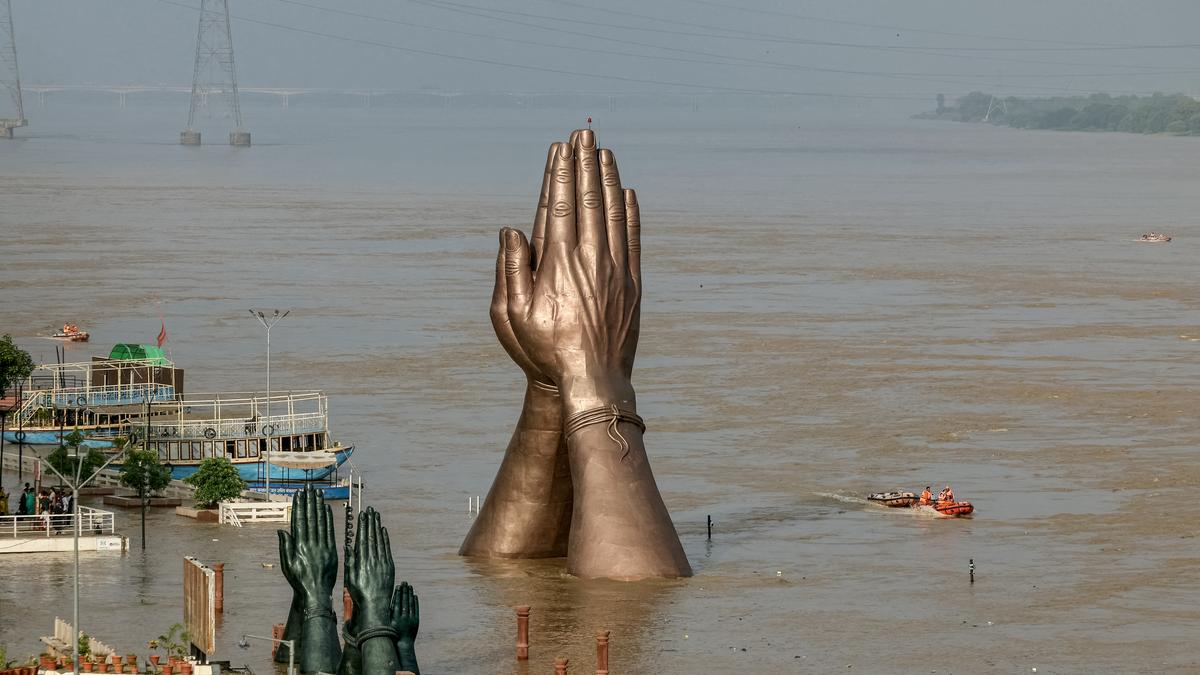
- India lacks a complete flood severity index, despite recurring severe impacts like displacement, injuries, and deaths from floods.
- Researchers from IIT Delhi and IIT Gandhinagar developed the District Flood severity Index (DFSI), considering parameters such as historical flooding percentage, duration of events, deaths/injuries, and population impacted.
- Current data for DFSI analysis is sourced annually since 1967 by the Indian Meteorological Department (IMD), focusing primarily on riverine and large-scale floods. Smaller events might potentially be underreported.
- The DFSI distinguishes districts with severe flood impacts based on both magnitude and human impact metrics rather than just inundation levels.
- Limitations mentioned: lack of available data on flooded agricultural areas; urban flooding exacerbated by unplanned development despite rainfall being a major factor.
- Key findings: Thiruvananthapuram has recorded the most flooding events (231+), but Patna leads in severity as measured by DFSI due to broader impacts. Assam districts like Dhemaji and Kamrup also rank among regions frequently affected.
Indian Opinion Analysis
The introduction of the District Flood Severity index represents a critical effort to prioritize evidence-based planning in India’s flood management strategies. By shifting focus from purely magnitudinal metrics to include human impacts-such as population affected-it creates an opportunity for policymakers to allocate resources more effectively across vulnerable districts. Though, challenges remain with incomplete or inaccessible datasets that may skew results or limit index refinement.
Urban flooding highlighted in certain regions points towards systemic issues like unregulated development alongside hydrological factors.collaborative efforts addressing infrastructure planning coudl mitigate urban disasters significantly. Furthermore, while IMD data provides foundational insights over decades, broadening datasets at finer spatial resolutions could improve accuracy-and potentially influence targeted disaster preparedness at district levels.
This initiative underscores India’s need for more granular climate-impact tracking systems which can guide lasting practices across diverse terrains spanning densely populated Indo-Gangetic plains to coastal cities prone to extreme weather fluctuations.Read More: [Link Placeholder]


Related Posts
Stay Informed With the Latest & Most Important News
Previous Post
Next Post


Advertisement


