
Now Reading: Next-Gen Water Satellite Maps Earth’s Seafloor from Space
1
-
01
Next-Gen Water Satellite Maps Earth’s Seafloor from Space
Quick Summary
- NASA and CNES have developed the Surface Water and Ocean Topography (SWOT) satellite, launched in December 2022, which is delivering highly detailed data about Earth’s ocean floor.
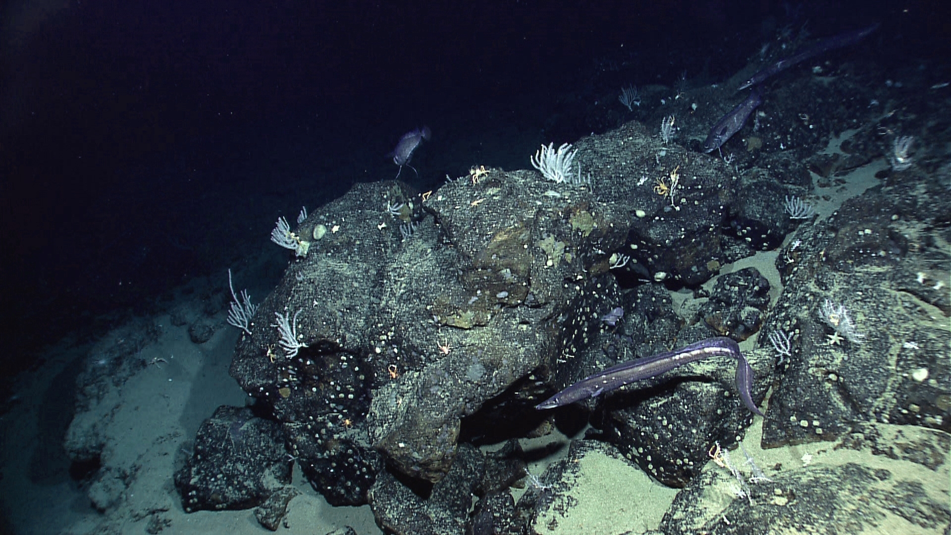
- SWOT’s findings are based on measuring minute gravitational changes caused by underwater features like seamounts and abyssal hills. This helps predict seafloor structures.
- Researchers used one year of SWOT data to map features such as underwater mountains,increasing known seamount counts from 44,000 to a potential 100,000 globally. Abyssal hills were also captured with unexpected precision.
- These maps contribute to enhanced navigation for ships, undersea cable placement, rare-mineral mining prospects, hazard detection systems, seabed warfare operations and tracking plate tectonics history. These features deeply influence sea currents and nutrient movement that sustain marine ecosystems.
- The effort complements a global initiative to fully map the seafloor using ship-based sonar by 2030; however full mapping might not be achieved on time but SWOT fills important gaps.
- SWOT was jointly contributed by NASA (Ka-band radar interferometer instrument) along with CNES supported partially Canadian Space Agency UK besides specific payload contributors
Watch more [Animation.]https://Nasa link


Related Posts
Stay Informed With the Latest & Most Important News
Previous Post
Next Post


Donations


Advertisement

Loading Next Post...


