
Now Reading: Rajasthan Braces for Heavy Rain in Coming Days
1
-
01
Rajasthan Braces for Heavy Rain in Coming Days
Quick Summary
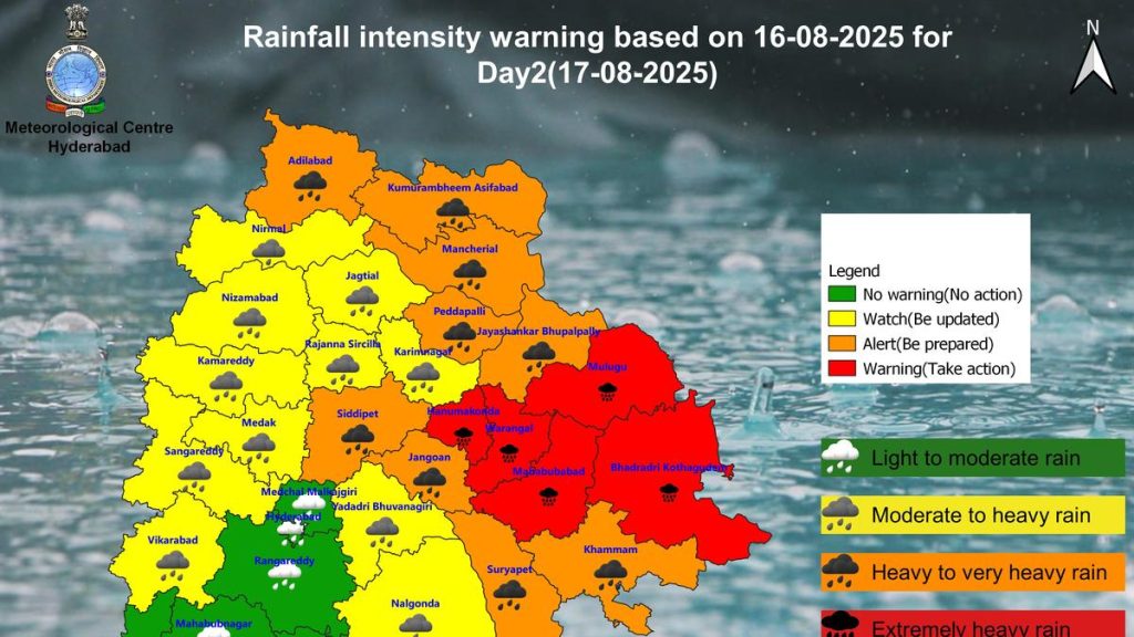
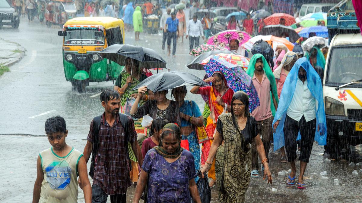
- Parts of Rajasthan, particularly Udaipur and Jodhpur divisions, are forecasted too receive moderate to heavy rains with thunderstorms over the next four to five days due to an active low-pressure system.
- Other divisions like Kota, Ajmer, Jaipur, Bharatpur, and Bikaner are expected to experience light-to-moderate rain accompanied by thunder.
- Back-to-back low-pressure systems in the Bay of Bengal are predicted to sustain strong monsoon activity across Rajasthan thru August’s last week.
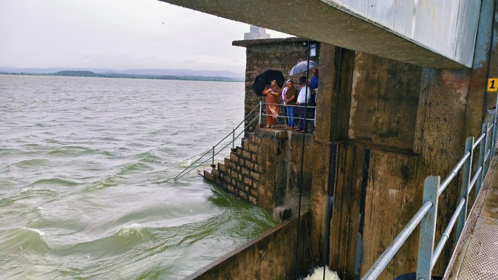
- The met office reported light-to-moderate rain in eastern Rajasthan with some areas experiencing heavy rainfall. Western Rajasthan witnessed isolated instances of heavy downpours.
- Bali in Pali District recorded the highest rainfall at 70 mm over the past 24 hours ending at 8:30 a.m., August 16.
Indian Opinion Analysis
Rajasthan’s upcoming spell of significant rainfall underscores the variability and intensity of monsoon dynamics influenced by active low-pressure systems forming over the bay of Bengal. While increased precipitation can provide much-needed relief from drought conditions prevalent in parts of western Rajasthan, it also raises concerns about potential flooding in vulnerable areas like Udaipur or Jodhpur during intense downpours. Authorities may need a coordinated response mechanism for both immediate disaster management and long-term water resource planning as extreme weather patterns become more frequent due to climate shifts.
Read more: India Monsoon Updates on August 16


Related Posts
Stay Informed With the Latest & Most Important News
Previous Post
Next Post

Donations


Advertisement

Loading Next Post...


