

Now Reading: San Andreas Fault: Key Facts on California’s Potential ‘Big One
-
01
San Andreas Fault: Key Facts on California’s Potential ‘Big One

Fast Summary
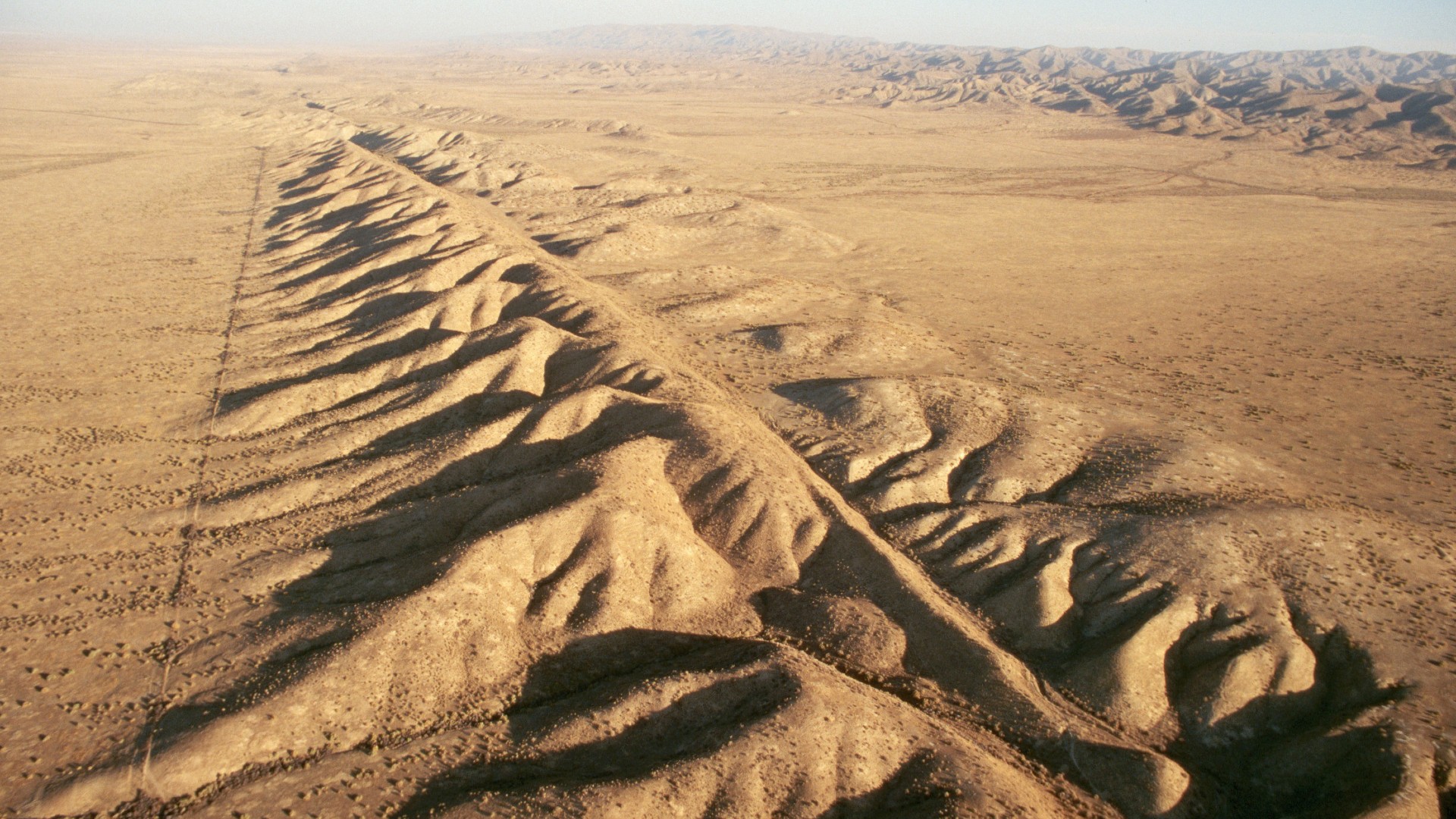
- The San Andreas Fault is a strike-slip fault in California, stretching 746 miles (1,200 kilometers) from the Salton Sea to Mendocino.
- First discovered in 1895 by geologist Andrew Lawson, the fault separates the North American and Pacific tectonic plates.
- Major ancient earthquakes on the fault include:
– 1906: A magnitude 7.9 earthquake devastated San Francisco, causing over 3,000 fatalities.
– 1857: The southern segment produced a similarly large quake near Fort Tejon but caused minimal damage due to low population density at the time.
- Movement along the fault averages about 2 inches per year; Los Angeles and San francisco could be neighbors in around 15 million years.
- It is divided into three segments:
– Southern section: Threatens densely populated areas like Los Angeles with potential quakes as strong as magnitude 8.3.
– Middle creeping section: Moves slowly without major shaking historically recorded there.
– Northern section: Includes complex junctions like where it transitions into a subduction zone off coastal Mendocino.
Indian Opinion Analysis
The information on the San Andreas Fault underscores two key geological insights vital for India as well. First, it reflects how urban development should align with seismic risk assessments; catastrophic outcomes can result when cities grow without addressing vulnerabilities related to active fault systems. For India-home to several seismic zones (including Himalayan regions)-robust infrastructure planning and improved disaster preparedness are critical.
Second, even though scientists cannot precisely predict major earthquakes yet, adopting advanced research techniques similar to those used by geologists studying San Andreas might help mitigate risks domestically. With meaningful portions of India’s population residing near seismically active zones such as Uttarakhand or Northeastern India’s Shillong Plateau region-a proactive stance towards earthquake risk management remains indispensable for overall national safety.
!San Andreas Fault
Image Credit: Lloyd Cluff via Getty Images


Related Posts
Stay Informed With the Latest & Most Important News
Previous Post
Next Post


Advertisement


