


Now Reading: Trees May Help Detect Volcanic Eruptions from Space
-
01
Trees May Help Detect Volcanic Eruptions from Space
Swift Summary
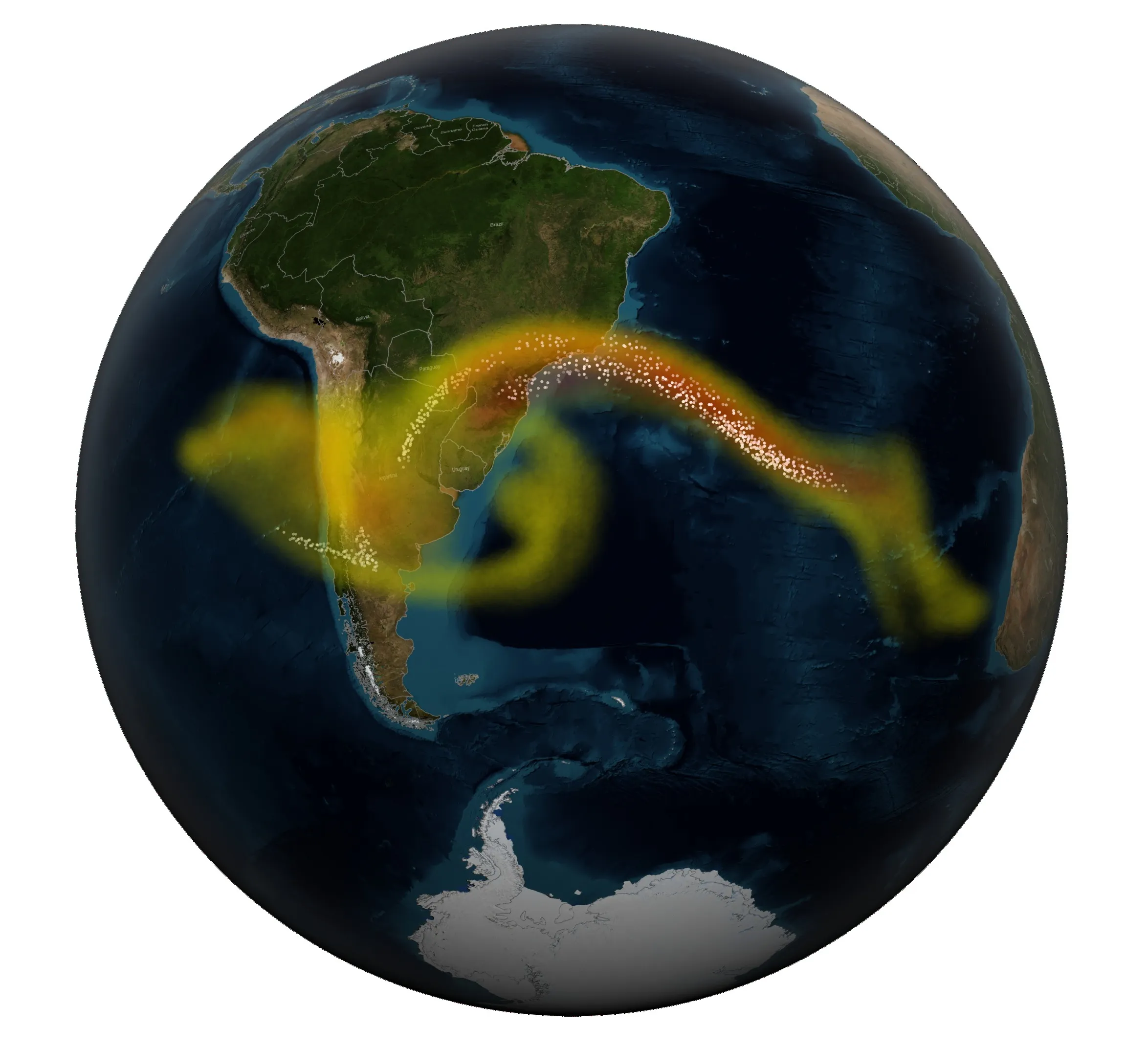
- Approximately 10% of the worldS population, including areas in the U.S., lives near active volcanoes.
- A new NASA study reveals that monitoring tree leaves around volcanoes can provide early warning signs for eruptions.
- trees absorb volcanic carbon dioxide emissions during magma movement, causing their leaves to become visually greener, a phenomenon detectable via NASA satellite imagery.
- This innovative detection technique could complement existing methods like seismic activity monitoring and ground observations, enhancing evacuation readiness.
- The study highlights ecological-volcanological intersection and potential insights into how trees respond to high CO2 levels globally in the future.
- Though, limitations exist based on geography and weather conditions affecting tree monitoring near some volcanoes.
Read More: How Trees Can Warn us About Volcanic Eruptions From Space
Indian Opinion Analysis
This breakthrough underscores the importance of interdisciplinary science combining ecology with geophysical phenomena like volcanology. For India-a nation with varied geological terrains including regions of volcanic activity-such innovations may strengthen disaster preparedness frameworks while minimizing human risk during possible eruptions.
Although India does not presently face immediate threats akin to highly volatile regions elsewhere, similar methodologies could have implications for its remote sensing capabilities used for other environmental risks such as floods or landslides from Himalayan tectonic movements.
Leveraging space-based technology systems aligns well with India’s ongoing advancements in satellite surveillance led by ISRO (Indian Space Research Organisation). Such tools offer economically scalable options to broaden territorial safety nets through predictive measures informed by ecological markers.
Read More: What Causes Volcanic Eruptions: Can We Predict Them?


Related Posts


Stay Informed With the Latest & Most Important News
Previous Post
Next Post


Advertisement


