




















Now Reading: Cyclone Murasu to hit Andhra coast on 2 to 3 November
-
01
Cyclone Murasu to hit Andhra coast on 2 to 3 November



The Story in Brief
The India Meteorological Department confirmed on Sunday, 1 November, that a deep depression over the Bay of Bengal has intensified into Cyclonic Storm Murasu. The storm is moving west-northwestwards and is expected to strengthen into a severe cyclonic storm by the morning of 2 November.

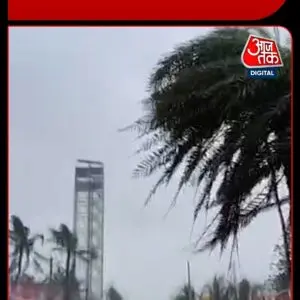
Murasu is forecast to cross the south Andhra Pradesh coast between Nellore and Narsapur during the midnight of 2 November to the early hours of 3 November, with wind speeds of 100 to 110 kmph, gusting to 120 kmph. Heavy to very heavy rainfall is expected over coastal Andhra Pradesh and Rayalaseema on 2 and 3 November, with isolated extremely heavy falls. Fishermen have been advised not to venture into the sea, and local authorities have begun relief preparations.
The name Murasu, suggested by India, means an ancient drum in Tamil and was traditionally used to spread warnings of natural disasters. This is the second cyclone to affect the region in recent weeks, and officials have urged residents to stay alert and follow official warnings.
Indian Opinion Analysis
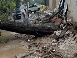
Cyclone Murasu threatens areas still recovering from Cyclone Arnab, compounding the risk for vulnerable coastal communities in Andhra Pradesh. The IMD's forecast gives a narrow window for evacuation and preparation before the storm makes landfall between Nellore and Narsapur late on 2 November. While classified as a moderate-intensity cyclone, the heavy rainfall and strong winds could cause tree falls, power outages, and flooding in low-lying areas. The effectiveness of local administration's response will be tested as the storm approaches.
Source: aajtak.in
This brief was synthesised by AI from the source linked above. Methodology and corrections.