






















Now Reading: Delhi Police flags Google Maps failure on Barapulla Phase-III jam
-
01
Delhi Police flags Google Maps failure on Barapulla Phase-III jam


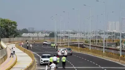
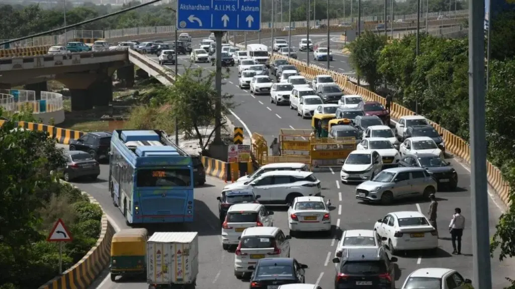
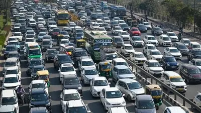
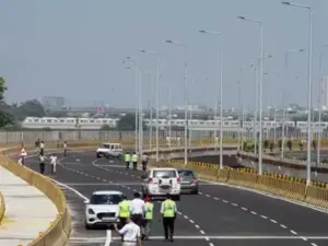
Delhi Traffic Police on Wednesday, 7 October 2026, issued an advisory after heavy congestion was reported on Barapulla Phase-III Elevated Road. In a post on X, the police said the congestion was not being reflected on Google Maps, leading commuters to continue using the route and causing a bottleneck at Barapulla Junction.
Traffic from Barapulla Phase-III was being diverted towards NH-24/DND. Police advised commuters to avoid the stretch and take alternate routes via NH-24/DND. Traffic personnel were deployed at the spot to regulate movement.
The police said traffic from around eight to nine lanes converges into just three lanes at a single point on the older flyover stretch. The snarls emerged soon after the opening of Barapulla Phase-III, which was expected to improve connectivity between Mayur Vihar and Sarai Kale Khan.
Indian Opinion Analysis
The advisory points to a mismatch between digital mapping and physical infrastructure. A new flyover meant to ease movement has instead created a choke point because road design funnels nine lanes into three. The failure of Google Maps to show congestion means drivers have no real-time warning, worsening the jam. The police diversion to NH-24/DND is a temporary fix, the underlying lane convergence remains unresolved. The effectiveness of the Phase-III project now depends on whether traffic management can adapt faster than the maps update.
Commuters on routes towards Barapulla and Ring Road face the most disruption. The next step is to see how quickly Google Maps corrects the data and whether the traffic police deploy permanent measures at the convergence point.
Source: timesofindia.indiatimes.com
This brief was synthesised by AI from the source linked above. Methodology and corrections.