




















Now Reading: India names 28 places on Ladakh map
-
01
India names 28 places on Ladakh map


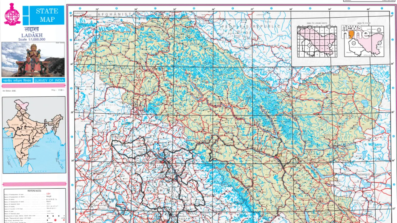
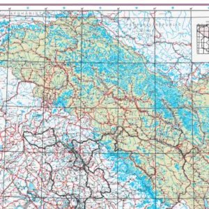
The Government of India, in consultation with the Union Territory of Ladakh, has identified 28 places and geographical features with standard names on the official Survey of India map, the Ministry of Home Affairs announced on 2 October. The list includes peaks such as Kanishka Peak and Zorawar Peak, passes like Chapchingal Pass, glaciers including Parpik Glacier, and land areas such as Gogra and Dehra Compass.
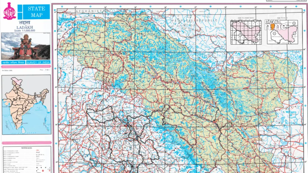
The identified features also include Guru Rinpoche Lake, Yangpa River, and a Hot Spring classified as a water body. Several names are linked to Buddhist history, including Rinchen Zangpo and Milarepa Kangri. The updated map is available on the Survey of India website.
Indian Opinion Analysis
Both sarkaritel.com and news9live.com report the same facts neutrally, with no discernible slant. Sarkaritel.com emphasises the administrative process and the availability of the map, while news9live.com highlights culturally significant names such as Kanishka Peak and Guru Rinpoche Lake. The coverage is uniform straight reporting on a routine mapping exercise, with both outlets attributing the announcement to the government and listing the same 28 features. The next step, as stated by both sources, is public access to the updated map through the Survey of India website.
Coverage: 2 sources, 2 neutral
Sources (2): sarkaritel.com (neutral report), news9live.com (neutral report)
This brief was synthesised by AI from the 2 sources linked above, so one read covers every framing they carry. Methodology and corrections.