











Now Reading: Telangana land resurvey to correct errors by March 2027
-
01
Telangana land resurvey to correct errors by March 2027



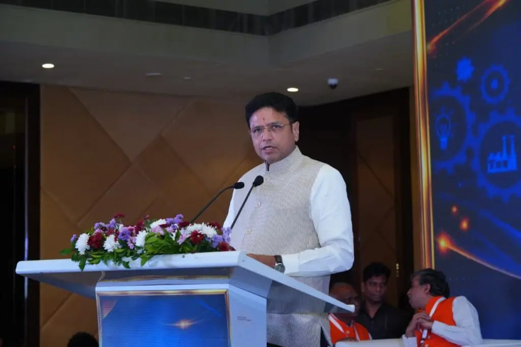
Telangana Revenue Secretary DS Lokesh Kumar has said the ongoing comprehensive land resurvey will correct every mistake in land records, detect encroachments, and fix boundaries using precise latitudes and longitudes. He stated that the exercise will be completed within the government-mandated deadline.
Kumar explained that Telangana's total geographical area is 1,12,077 sq km (about 2.77 crore acres). Of this, 25 lakh acres are assigned lands, 66 lakh acres are forest lands, and 13-14 lakh acres are occupied by irrigation projects, roads, and government establishments. About 65,000 acres remain disputed, and the resurvey aims to provide clear documentation.
The resurvey is already underway, completed in 35 villages, with pilot surveys started in selected villages across almost all mandals. Revenue Minister Ponguleti Srinivas Reddy had set a March 2027 deadline for the three-phase statewide exercise, after which farmers will receive unique 'Bhudhaar' identification numbers for each land parcel.
Indian Opinion Analysis
Telangana's last major survey was conducted decades ago, leading to outdated and contested records that have fuelled land disputes and litigation. The state government is betting on GPS-based technology to create a definitive digital land registry, similar to the Dharani portal but with ground-verified boundaries. The real test will be in high-conflict areas like the old city of Hyderabad and forest fringe villages, where encroachment claims and tribal rights overlap. If completed on time, the resurvey could unlock stalled infrastructure projects and reduce property tax evasion. Watch for the completion of the first phase by mid-2027, which will set the pace for the entire state.
Source: thehansindia.com
This story was synthesised by AI from the source linked above. Methodology and corrections.