





















Now Reading: Fresh Bay of Bengal low pressure forms as Arnab fades
-
01
Fresh Bay of Bengal low pressure forms as Arnab fades



The Story in Brief
A fresh low pressure area formed over the south Andaman Sea at 5.30 am on Thursday, the India Meteorological Department said. It is expected to move west-northwestwards, becoming a well-marked low pressure area over the south Andaman Sea and adjoining Andaman and Nicobar Islands within 24 hours.
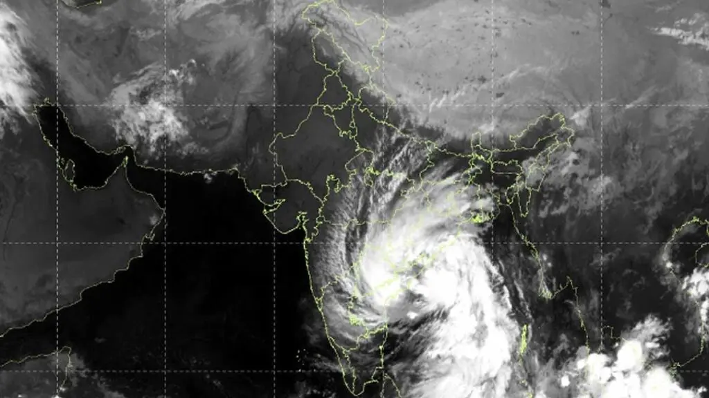
The system is then likely to concentrate into a depression over the southeast Bay of Bengal and adjacent areas in the following 24 hours. Meanwhile, the deep depression that was very severe cyclonic storm Arnab over north coastal Andhra Pradesh moved northwards at 22 kmph, weakened into a depression and lay centered over south Chhattisgarh and adjoining south Odisha at 5.30 am.
Indian Opinion Analysis
The new low pressure area in the Bay of Bengal follows the path of the deep depression that was cyclone Arnab, and the pattern means coastal Andhra Pradesh and Odisha face back-to-back weather systems within days. The IMD's forecast gives a three-day window before a depression forms over the southeast Bay of Bengal. With Arnab's remnant still weakening over Chhattisgarh and Odisha, the ground is already saturated, raising the risk of fresh flooding. The next 48 hours will show whether the system intensifies into a depression as predicted, and the IMD's bulletins will track the west-northwestward movement toward the coast.
Source: deccanchronicle.com
This brief was synthesised by AI from the source linked above. Methodology and corrections.