












Now Reading: India, Nepal to use drones to map Dasgaja buffer zone encroachments
-
01
India, Nepal to use drones to map Dasgaja buffer zone encroachments

India, Nepal to use drones to map Dasgaja buffer zone encroachments

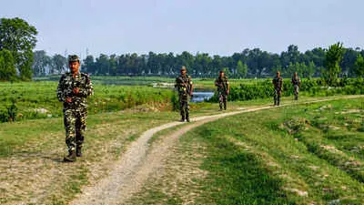
India and Nepal have agreed to deploy drones to map cross-border occupation and encroachments in Dasgaja, the no-man's-land along the 1,880 km open border. The decision was taken at the 13th meeting of the Survey Officials' Committee in Lucknow this month. The joint aerial survey is expected to begin after the monsoon, around September or October, and be completed within three years.
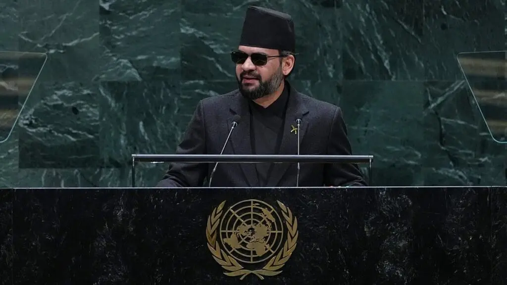
The move follows remarks by Nepal Prime Minister Balendra Shah in Parliament in May about encroachments. Nepal's foreign ministry later clarified Shah was referring to cross-border occupation in Dasgaja, not a new territorial claim. Of the 8,554 boundary pillars installed along the border, 1,325 are missing and 1,956 are damaged, complicating boundary management as rivers shift course and land use changes.
The two sides will jointly analyse the imagery to establish how much land is being used by citizens on the other side of the recognised boundary.
Indian Opinion Analysis
Dasgaja is meant to be a clear no-man's-land, but along a 1,880 km open border with deep family and economic ties, enforcement has always been loose. The missing boundary pillars, nearly 15 per cent of the total, compound the problem, especially in riverine sections where the Fixed Boundary Principle keeps the legal line unchanged even as the river shifts. The drone survey is a practical first step: aerial imagery gives both sides the same dataset to discuss, rather than competing ground claims. What follows the survey matters more. Both governments will have to decide whether to regularise, remove or compensate people found living or farming across the line. A joint mechanism to settle those cases, with a timeline, would signal real progress. The next milestone is the start of the survey post-monsoon.
Source: timesofindia.indiatimes.com
This brief was synthesised by AI from the source linked above. Methodology and corrections.