
















Now Reading: Kerala flood data exists but is not interoperable
-
01
Kerala flood data exists but is not interoperable


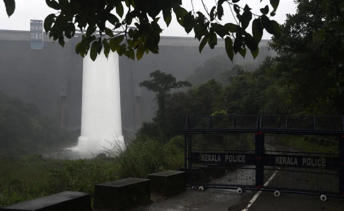
Kerala has made significant progress in flood monitoring since the devastating 2018 floods, with 100 automated weather stations operational by December 2025 and a new reservoir assessment tool providing near-real-time data. However, the state's flood management challenge is not a lack of data but the inability to bring together information from different systems and institutions quickly enough to support timely decisions.

The 2018 floods demonstrated why river basins must be understood as connected systems. A Central Water Commission study estimated that between August 15 and 17 that year, about 1.63 billion cubic metres of runoff was generated by four river systems, against a carrying capacity of only about 0.6 billion cubic metres in Vembanad Lake. The Thottappally spillway's effective discharge capacity, reduced by siltation from its designed 1,800 cubic metres per second to about 630 cubic metres per second, was a major constraint.
Experts suggest Kerala needs a secure interoperability layer connecting existing systems rather than another stand-alone portal. Such a system would map relationships between rainfall stations, catchments, reservoirs, downstream settlements and river carrying capacity, maintaining an auditable decision trail. The objective, however, should never be to hand control of dam gates to a machine, statutory authority and responsibility must remain with designated officials.
Indian Opinion Analysis
The 2018 Kerala floods killed over 480 people and displaced more than a million, exposing critical gaps in real-time data sharing between agencies. The state has 44 major dams managed by KSEB, the Irrigation Department and other bodies, each maintaining separate monitoring systems. Without a common operational picture, a reservoir manager releasing water based on local conditions may inadvertently compound flooding downstream. The solution proposed is technically modest: a read-only data layer that preserves each agency's ownership and authority. The real obstacle is institutional, not technical: departments guard data for fear of liability if a shared forecast proves wrong. A successful pilot in a single river basin, perhaps the Periyar, would be the next practical step.
Source: thehindu.com
This story was synthesised by AI from the source linked above. Methodology and corrections.