

















Now Reading: Police tell Google Maps to show Mumbai-Bengaluru highway as closed
-
01
Police tell Google Maps to show Mumbai-Bengaluru highway as closed


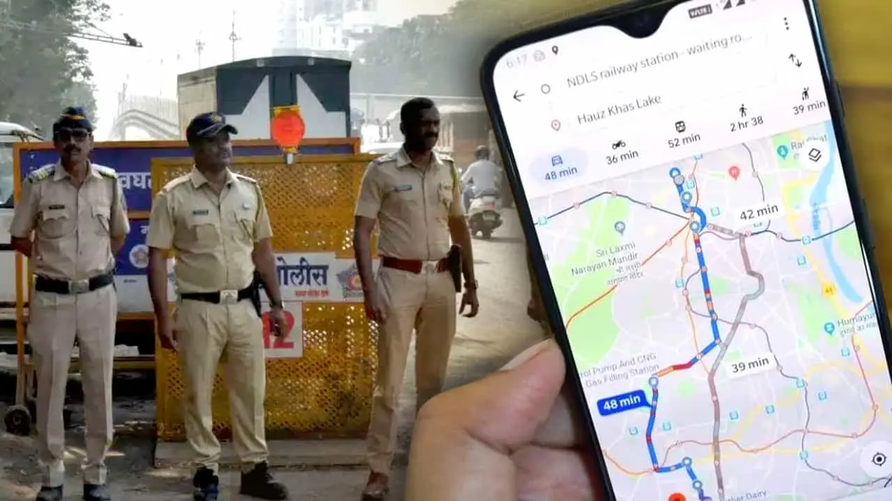
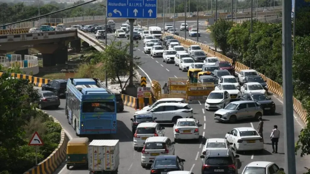
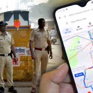
Maharashtra police have asked Google Maps to mark a stretch of National Highway 48 as closed, after farmers at the Maharashtra-Karnataka border blocked traffic from 13 October. The protest over sugarcane prices and ethanol rates has snarled movement near the Koganoli toll plaza, affecting vehicles travelling between Kolhapur in Maharashtra and Belagavi and Bengaluru in Karnataka.
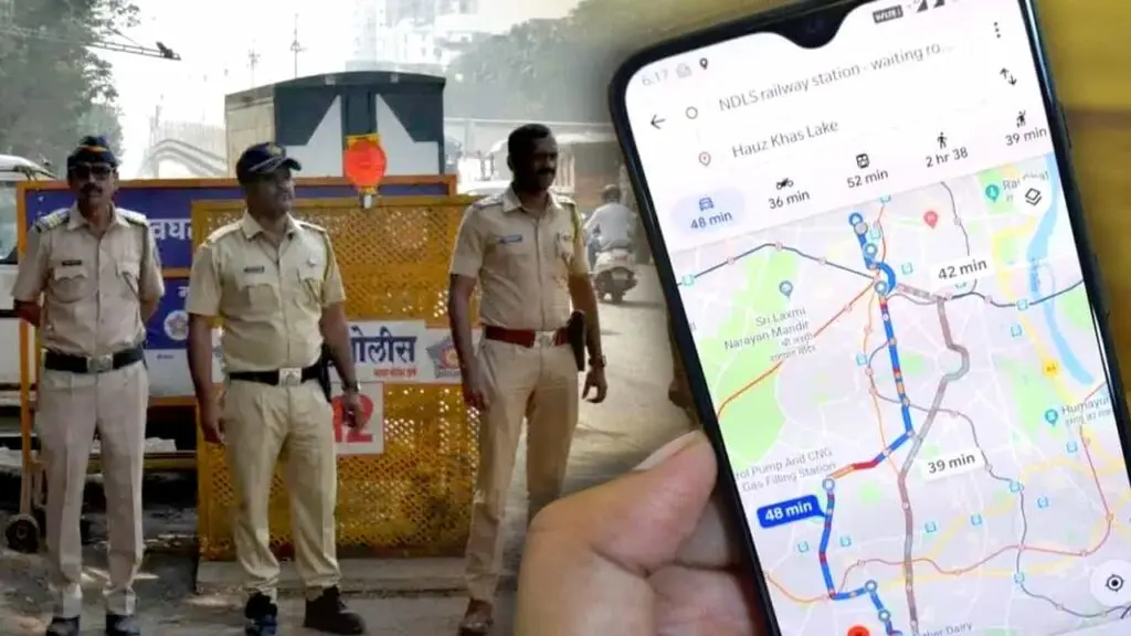
Kolhapur Range Inspector General of Police Ranjan Kumar Sharma advised travellers to use alternative routes. The Pune Range Superintendent of Police (Highways) office said conditions had not improved by the morning of 14 October and warned that traffic could remain disrupted. Police said they will notify Google Maps to lift the closure advisory once normal movement resumes.
Indian Opinion Analysis
Farmers have been blocking National Highway 48 at the Maharashtra-Karnataka border since 13 October over cane prices and ethanol rates, forcing police to treat the stretch as closed. The instruction to Google Maps is a practical step to reroute traffic, but it also signals that authorities expect no quick resolution, conditions may remain disrupted for days. Travelers between Kolhapur, Belagavi and Bengaluru face the most inconvenience, and police have left the reopening timeline open, saying only they will alert Google Maps once traffic normalises. Anyone relying on NH 48 in the coming days must check alternative routes.
Source: tv9hindi.com
This brief was synthesised by AI from the source linked above. Methodology and corrections.