



















Now Reading: Delhi traffic police to alert drivers on accident-prone stretches via map apps
-
01
Delhi traffic police to alert drivers on accident-prone stretches via map apps

Delhi traffic police to alert drivers on accident-prone stretches via map apps


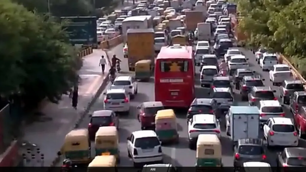
Delhi Traffic Police will soon send real-time alerts to drivers using Google Maps and MapMyIndia when they approach accident-prone stretches in the city. The initiative aims to improve driver awareness and reduce…
The Story in Brief
Delhi Traffic Police will soon send real-time alerts to drivers using Google Maps and MapMyIndia when they approach accident-prone stretches in the city. The initiative aims to improve driver awareness and reduce crashes. The 10 identified blackspots are on major arterial roads including Grand Trunk Karnal Road, Ring Road, Outer Ring Road and Rohtak Road.
In a first, the police will also integrate prescribed speed limits into the two navigation apps, allowing drivers to see the limit for the road they are on. Officials say the collaboration builds on the growing use of technology to manage traffic and share real-time information on congestion, diversions and road closures.
The Indian Opinion
This is a welcome step, but technology alone won't fix Delhi's road safety crisis if enforcement remains weak. Drivers already ignore speed limits and blackspot warnings posted on signboards. The real test will be whether the police use these alerts to issue automated challans or simply pass the buck to app companies. Without penalties for ignoring speed limits, the alerts risk becoming just another notification we swipe away.
Source: timesofindia.indiatimes.com
This story was synthesised by AI from the source linked above.