



















Now Reading: IIT Bombay develops AI model to read satellite images through language
-
01
IIT Bombay develops AI model to read satellite images through language


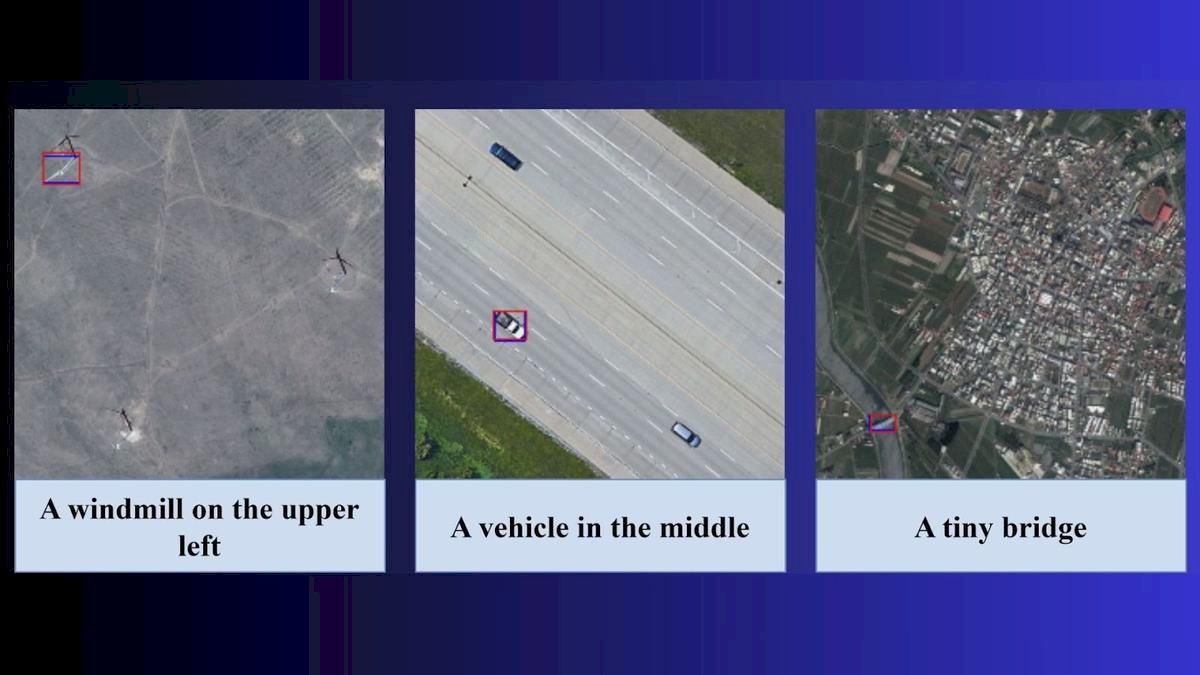
IIT Bombay researchers have developed and open-sourced an AI model that interprets satellite, drone and aircraft images through everyday language prompts. Called Adaptive Modality-guided Visual Grounding, or AMVG, it can respond to…
The Story in Brief
IIT Bombay researchers have developed and open-sourced an AI model that interprets satellite, drone and aircraft images through everyday language prompts. Called Adaptive Modality-guided Visual Grounding, or AMVG, it can respond to instructions such as finding damaged buildings near a flooded river. The model was developed by a team led by Professor Biplab Banerjee and published in the International Society for Photogrammetry and Remote Sensing Journal of Photogrammetry and Remote Sensing.
The Hindu reports that AMVG performed better than existing approaches in tests involving damaged buildings, hidden vehicles and crop patterns. But the team has not tested it in real-world disaster operations because suitable datasets are unavailable. A broader benchmark is also pending. Researchers are exploring collaborations with ISRO and are working on real-time deployment and wider geographic testing.
The Indian Opinion
Claims that this model can already run flood or earthquake response are ahead of the evidence. So is the opposite claim that it is merely a laboratory curiosity. AMVG has useful demonstrations, an open-source implementation and clear limits, including its dependence on annotated data. The honest test is whether it performs reliably on a properly built disaster dataset across several regions, not a handful of impressive examples.
Source: thehindu.com
This story was synthesised by AI from the source linked above.