
















Now Reading: IMD predicts more rain on Thursday as low-pressure system moves across India
-
01
IMD predicts more rain on Thursday as low-pressure system moves across India

IMD predicts more rain on Thursday as low-pressure system moves across India

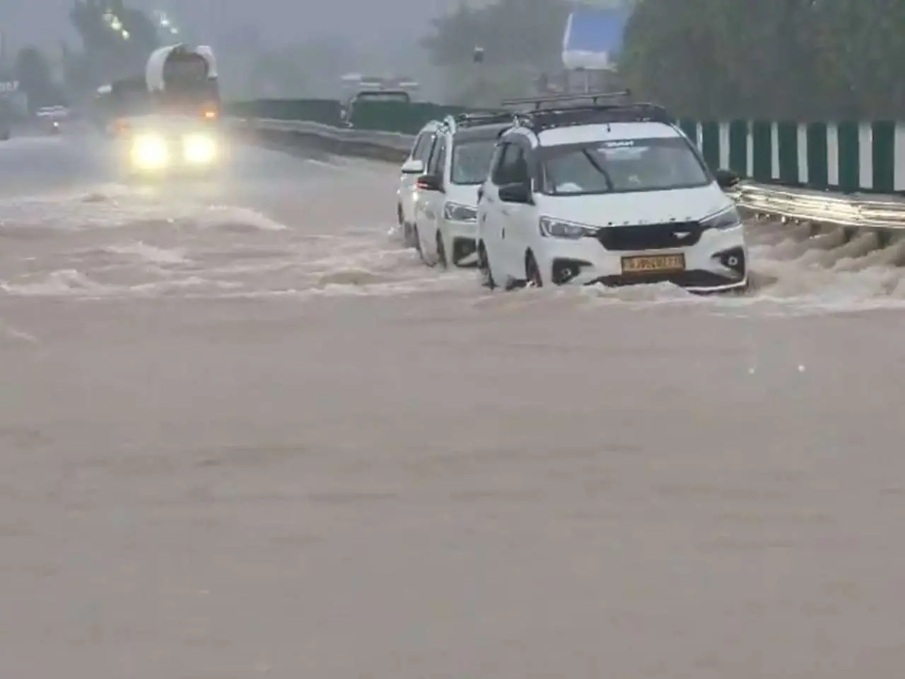
The India Meteorological Department has forecast more rainfall across several parts of the country on Thursday as a low-pressure system moves westward. The system, currently positioned over the Bay of Bengal, is expected to bring heavy to very heavy rain to Odisha, Chhattisgarh, Madhya Pradesh, Gujarat, and Maharashtra over the next 24 to 48 hours.

The IMD has issued an orange alert for several districts in Odisha and Madhya Pradesh, warning of potential flooding and waterlogging in low-lying areas. Coastal regions of Gujarat and Maharashtra are also likely to experience gusty winds reaching 40-50 km/h alongside the rainfall. The department advised fishermen not to venture into the Arabian Sea and the Bay of Bengal until the system weakens.
The monsoon trough is expected to remain active over central India, sustaining the wet spell into the weekend. Residents in affected areas have been urged to avoid unnecessary travel and stay away from flood-prone zones. The IMD will issue further updates as the system evolves.
Indian Opinion Analysis
A low-pressure area in the Bay of Bengal is the typical monsoon system that drives India's June-September rainfall. What matters now is whether this system strengthens into a depression, which would pull moisture deeper into central and western India, potentially breaking dry spells in states that have seen deficit rain. The IMD's district-level colour-coded warnings, green, yellow, orange, red, determine whether state disaster-response teams are pre-positioned. Farmers in rain-fed agricultural belts watch these forecasts most closely: a week of good rain can decide whether kharif sowing meets its target. The next 48 hours will show whether the system stalls or moves west as predicted.
Source: dnaindia.com
This story was synthesised by AI from the source linked above. Methodology and corrections.