



















Now Reading: IMD warns of heavy rain in central, east India from August 13
-
01
IMD warns of heavy rain in central, east India from August 13


The Story in Brief
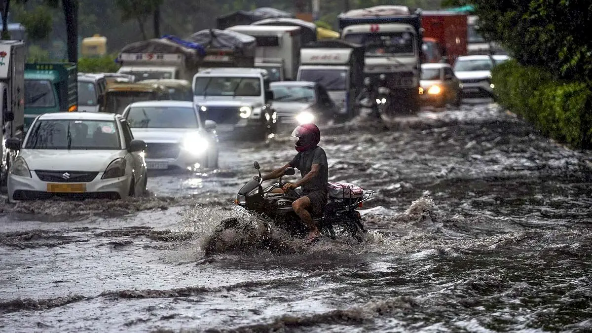
The India Meteorological Department (IMD) has forecast heavy rainfall across central, eastern, and northern India starting August 13 due to an active weather system over the Bay of Bengal and a low-pressure area over Madhya Pradesh. Dr. Shashi Kant of IMD said the system could intensify into a depression and cross the West Bengal-Bangladesh coast, strengthening the monsoon trough over Uttar Pradesh from August 13 to 18. Delhi-NCR is likely to see cloudy skies and light rain until August 14, with maximum temperatures around 33-35 degrees Celsius.

Himachal Pradesh has already seen 313 roads, 65 water supply schemes, and 112 transformers hit by rain since Wednesday, with Mandi district reporting the highest number of road closures at 117. The state has recorded 70 rain-related deaths since June 30 and estimated losses of about Rs 910 crore. Odisha, still recovering from a recent flood that affected 8 lakh people across 23 districts, now faces a new low-pressure area over the Bay of Bengal, with IMD predicting very heavy rainfall from August 13 to 17 and winds of 40-50 km/h.
The Indian Opinion
The IMD's rain forecast is becoming a monsoon season staple, but the real test is whether infrastructure, especially in states like Himachal Pradesh and Odisha, can handle the deluge. The figure to watch is not just rainfall in mm, but how many roads and transformers stay functional. On the ground, residents compare the government's response to each new alert: has drainage improved since last year's floods?
Sources (2): aajtak.in, bazaar.businesstoday.in
This story was synthesised by AI from the 2 sources linked above. Methodology and corrections.
Updated: this story now draws on 2 sources.