






Now Reading: IMD satellite spots monsoon system, early withdrawal possible after Sept 10
-
01
IMD satellite spots monsoon system, early withdrawal possible after Sept 10

IMD satellite spots monsoon system, early withdrawal possible after Sept 10

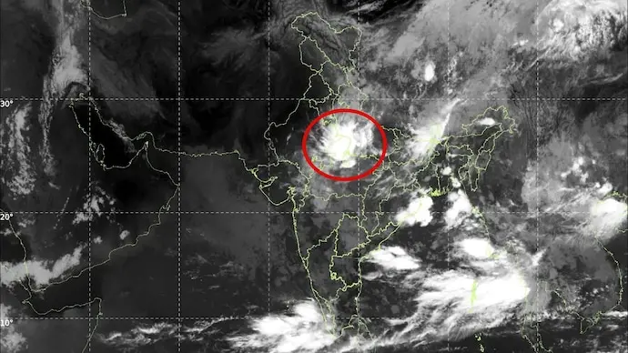
The Indian Meteorological Department is tracking an active low-pressure system over west Jharkhand that has shifted towards northeast Madhya Pradesh, driving cloud build-up and rainfall across the monsoon belt. Satellite imagery from Isro's INSAT-3DS shows extensive convective clouds over central and eastern India, with the system expected to move west-northwestwards in the next 24 hours and potentially influence rainfall over central and northern states.
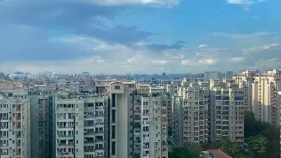
However, India Today reports that after September 10, the upper-level jet stream is forecast to shift southwards, allowing dry air to spread over northwest and central India. This could trigger the early stages of monsoon withdrawal from the northwest by mid-September, sharply reducing rainfall activity in those regions. Presently, Delhi-NCR may see isolated thunderstorms, with drier morning conditions and possible short heavy spells in Noida, Ghaziabad and Faridabad.
Indian Opinion Analysis
Both articles are identical, neutral weather reporting from India Today, based on IMD data and INSAT-3DS satellite imagery. The coverage leads with the active low-pressure system driving current rainfall, then shifts to the forecast for weakening after September 10 and possible early monsoon withdrawal. No alternative view, government-critical angle, or sensationalism appears. The straight factual framing means the analysis must focus on implications: if the forecast holds, the monsoon's final rainfall tally could be reduced sharply by mid-September, affecting rabi crop sowing timelines and reservoir levels in northwest and central India. Watch for the IMD's September 1 long-range update on withdrawal timing.
Coverage: 2 sources, 2 neutral
Sources (2): indiatoday.in (neutral report), indiatoday.in (2) (neutral report)
This brief was synthesised by AI from the 2 sources linked above, so one read covers every framing they carry. Methodology and corrections.
Updated: this story now draws on 2 sources.