



















Now Reading: South India drying fastest, heat hotspots spread: IMD study
-
01
South India drying fastest, heat hotspots spread: IMD study


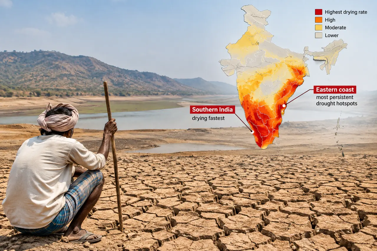
A new study by India Meteorological Department (IMD) scientists and others, published in the International Journal of Climatology, has found that southern India is drying the fastest, with the most persistent drought…
A new study by India Meteorological Department (IMD) scientists and others, published in the International Journal of Climatology, has found that southern India is drying the fastest, with the most persistent drought hotspots along the eastern coast, Greater Kashmir reports. The Print adds that states such as Odisha, Andhra Pradesh and Tamil Nadu have consistently recorded drought conditions, with over 40 percent of the region experiencing drought in several years.
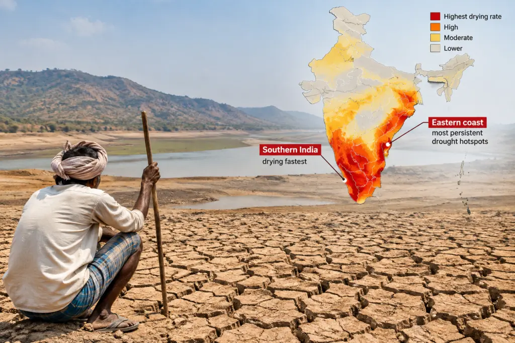
Northwest India has emerged as the country's heat epicentre, showing the steepest rises in daytime temperature, humid heat and heatwave severity. The study found the land area hit by temperature extremes expanded by 20 to 40 percent per decade across central and northwest India from 1971 to 2022. Co-author and former earth sciences secretary M Rajeevan said heat and drought extremes now cover large, connected regions, posing a different order of risk.
Researchers say the findings call for region-specific responses: heat action plans for the northwest, water and drought resilience for the south, and flood and rainfall management for the northeast. They propose using the new IMD climate extremes index as an annual operational tool to track where climate stress is building and target adaptation efforts.
Indian Opinion Analysis
Both sources report the same study findings neutrally, with no political slant. Greater Kashmir foregrounds the southern drought finding in its headline, while The Print leads with the northwest heat expansion. Neither overstates or omits key data. The study's core message is that climate extremes in India have shifted from scattered pockets to broad connected zones. This confirms a long-term trend the government's own scientists have measured, making it an authoritative baseline for adaptation planning across agriculture, water, health and infrastructure.
The key number is the 20 to 40 percent per decade expansion of temperature-affected land. The next step is whether state governments will adopt the region-specific responses the study recommends.
Coverage: 2 sources, 2 neutral
Sources (2): greaterkashmir.com (neutral report), theprint.in (neutral report)
This brief was synthesised by AI from the 2 sources linked above, so one read covers every framing they carry.