



















Now Reading: San Diego storm brings lightning, hail warning and 50 mph winds
-
01
San Diego storm brings lightning, hail warning and 50 mph winds


A severe thunderstorm warning covered parts of San Diego County late Thursday after National Weather Service radar detected a strong storm near Interstate 8 at 10:36 pm PDT. The storm was moving…
The Story in Brief
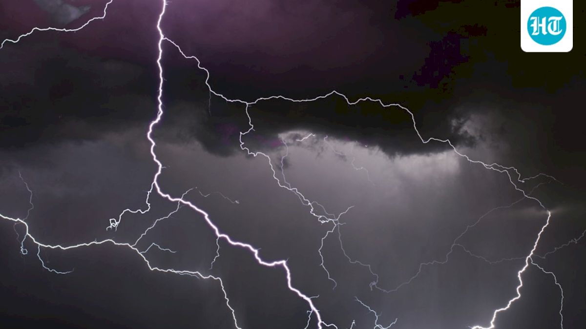
A severe thunderstorm warning covered parts of San Diego County late Thursday after National Weather Service radar detected a strong storm near Interstate 8 at 10:36 pm PDT. The storm was moving west at about 20 mph, and the alert remained in force until 11:15 pm. Videos from across the region showed repeated lightning flashes lighting up mountain ridges and desert areas.
The weather service warned of marble-sized hail up to 0.5 inches, wind gusts of up to 50 mph and dangerous lightning. Residents outdoors were told to move inside sturdy buildings. The warning included eastern communities such as Boulevard, Campo and Jacumba, along with parts of several Indian reservations, Highway S2 and Interstate 8. Falling branches and damage to vegetation were possible.
The Indian Opinion
Calling the footage either a terrifying disaster or simply a spectacular show misses the practical point. The National Weather Service identified concrete risks: lightning, hail, gusty winds and unsecured objects being blown about. Social media clips cannot establish how much damage occurred, while the warning itself does not prove widespread destruction. The useful test is straightforward: reports of injuries, power failures or property damage after the alert expired, not the number of dramatic videos online.
Source: hindustantimes.com
This story was synthesised by AI from the source linked above.