



















Now Reading: Uttarakhand maps 49 spots at risk of debris flows
-
01
Uttarakhand maps 49 spots at risk of debris flows


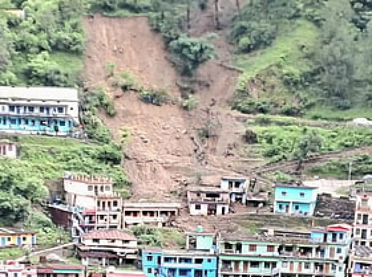
The Uttarakhand government has identified 49 locations across Uttarkashi, Chamoli and Pithoragarh districts as vulnerable to high-velocity debris flows. Disaster Management Secretary Vinod Kumar Suman said the danger is not limited to…
The Story in Brief
The Uttarakhand government has identified 49 locations across Uttarkashi, Chamoli and Pithoragarh districts as vulnerable to high-velocity debris flows. Disaster Management Secretary Vinod Kumar Suman said the danger is not limited to slope failures, as natural watercourses, glaciers and old landslide zones converge with settlements. Chamoli is the most vulnerable district with 22 locations, including Hanuman Chatti, Jalam and Pulna classified as high-risk. The mapping comes after the Dharali disaster. District magistrates have been asked to conduct risk assessments.
The Indian Opinion
This survey is a step towards disaster preparedness, but maps alone won't save lives. The real test lies in how promptly district magistrates act on these findings. Will vulnerable hamlets like Hanuman Chatti see early warning systems and evacuation drills before the next cloudburst? Or will this report join others gathering dust in government files?
Source: newindianexpress.com
This story was synthesised by AI from the source linked above.