



















Now Reading: Delhi Traffic Police to alert drivers on Google Maps about accident zones
-
01
Delhi Traffic Police to alert drivers on Google Maps about accident zones

Delhi Traffic Police to alert drivers on Google Maps about accident zones

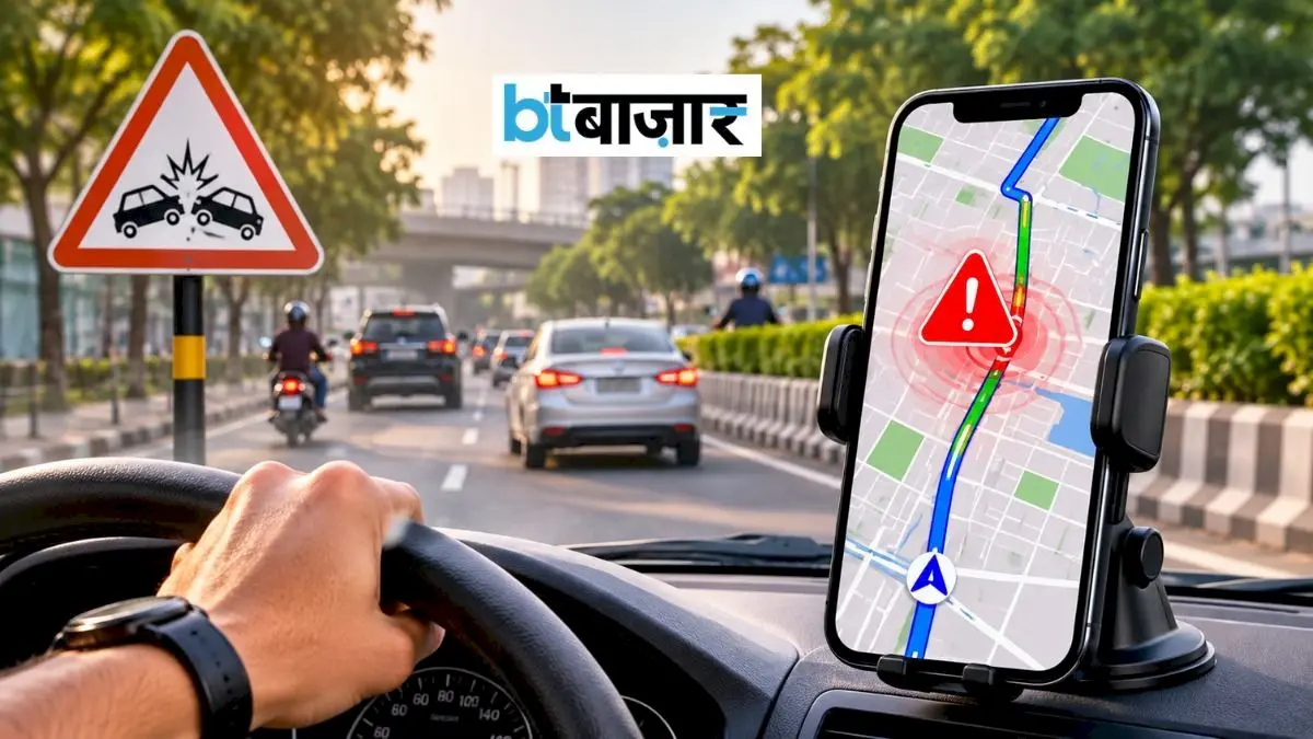
Delhi Traffic Police has partnered with Google India and MapMyIndia to alert drivers about accident-prone areas through navigation apps. When a vehicle approaches a designated sensitive stretch, Google Maps and MapMyIndia will…
The Story in Brief
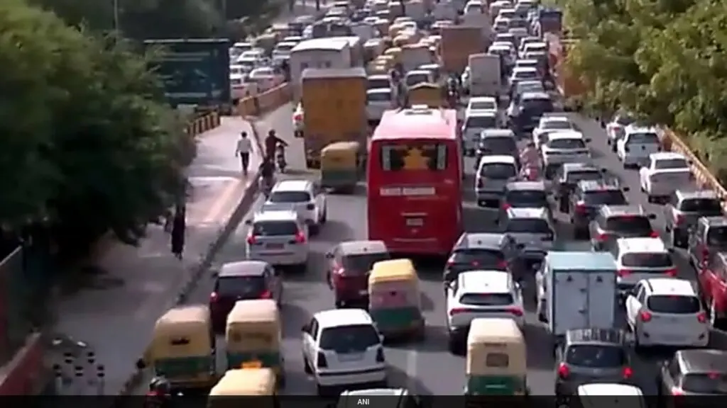
Delhi Traffic Police has partnered with Google India and MapMyIndia to alert drivers about accident-prone areas through navigation apps. When a vehicle approaches a designated sensitive stretch, Google Maps and MapMyIndia will show an alert, warning the driver to slow down and drive carefully.
Speed limits will also be displayed to help prevent over-speeding crashes. Delhi Traffic Police already shares real-time information on traffic jams, diversions and road closures through these platforms. The force says the initiative, announced on August 7, 2026, aims to make city roads safer and smarter using technology.
The Indian Opinion
Google Maps alert is a sensible step, but Delhi's roads need more than pop-up warnings. Potholes, missing footpaths and poorly lit stretches cause many crashes. Will the police also fix these? Or will citizens just get an alert before hitting a pothole that has been there for months? The real test will be whether accident data shared with Google leads to visible repairs on those very spots. If not, this is half a solution.
Source: bazaar.businesstoday.in
This story was synthesised by AI from the source linked above.