



















Now Reading: El Nino strengthens, twin low-pressure areas to bring heavy rain
-
01
El Nino strengthens, twin low-pressure areas to bring heavy rain


The Australian Bureau of Meteorology reports that El Nino has strengthened and could become one of the strongest since 1950, with sea-surface temperatures in the central Pacific rising 1.94°C above normal. Meanwhile,…
The Story in Brief
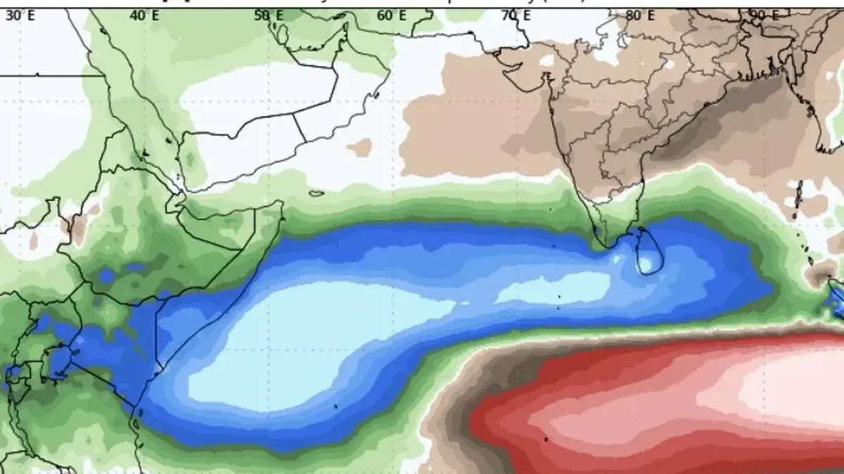
The Australian Bureau of Meteorology reports that El Nino has strengthened and could become one of the strongest since 1950, with sea-surface temperatures in the central Pacific rising 1.94°C above normal. Meanwhile, the India Meteorological Department says a positive Indian Ocean Dipole (IOD) is emerging, which could bring above-normal rainfall to Kerala and Tamil Nadu during the October-December northeast monsoon. The IMD has also forecast two low-pressure areas, one over West Bengal and another likely over the Bay of Bengal by Saturday, that may bring widespread rain to eastern and central India over the next six days.
The Indian Opinion
The monsoon forecast is once again dominated by jargon about El Nino and IOD, but for the average Indian farmer it is the actual rainfall that matters. The IMD's prediction of excess rain for Kerala and Tamil Nadu under a positive IOD is useful, but it should not distract from the fact that El Nino often brings drought to parts of India. The real test will be whether the twin low-pressure areas deliver widespread, timely rain across the rain-shadow regions, not just the coasts. Let us watch the August-September rainfall data, not the model hype.
Sources (2): thehindubusinessline.com, thehindubusinessline.com (2)
This story was synthesised by AI from the 2 sources linked above.
Updated: this story now draws on 2 sources.